Monday, August 19, 2013

WOODS LAKE – ROUND TOP – WINNEMUCCA LAKE LOOP: A RIDE-N-HIKE


If God were to somehow decree
that you could have but one hike in California’s Sierra
…and you had to complete it in less than a day...
this might be that hike.


My hiking buddy, brother Tim, had an appendix removed a week earlier, so, we figured, it was high time to overdo it.  Our common hike up around Duncan’s Peak (Placer County, Tahoe National Forest) seemed appropriate, but we’d done that a month back.

Tim had read about a little loop out of Woods Lake (Carson Pass area, Alpine County, El Dorado National Forest.)  I’d been there, wasn’t recovering from surgery, and figured I could keep up with him, so I said, “Sure.”


I’d stumbled across Woods Lake thirty years ago when looking simply for a place to stretch out after evening had fallen. Awakening to this marvelous alpine lake set among firs at the base of granitic outcrops prompted me to wonder whether I’d wandered into heaven.

Return visits have found me exploring – and later showing off – the four-plus mile trail that loops past Round Top and Winnemucca Lakes.  Sometimes I’ll ride the bike to the trailhead, but sometimes I’ll feel like bringing along the dog. 

I point out a sign to Edward, the lab mix, who returns a look that says, You know I can’t read, ya idjit.  Can’t we just go?

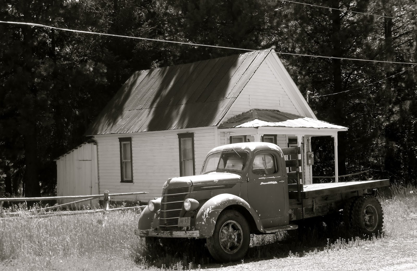
The old trail used to run past the Lost Cabin Mine, then a working claim, amply labeled with keep out signs.  Whatever happened to that route escapes me; the only sign of the district’s mining heritage is a derelict Model A chassis, long ago converted with a pulley to accommodate a belt, which provided power down a now-iron-gated shaft.


The trail ventures south and west out of the campground – at least in the direction we elected.  The path is well used, therefore requiring little grooming.  Steep, with rollie-pollie golf-ball sized rocks in some stretches, Tim breaks out his hiking poles.  I should have done so as well.

Harsh winters and summer foot traffic combine to expose roots on the route.  The stand of pines attached to these tendrils, thrive, but the footing can be delicate.

In late June, I remember this route slicing through glades and meadows of clown lupine and mules ears.  This time, in early August of a dry year, the plant life looks to be more thick-leaved and succulent.  The precursors, festive and alive a month before are but dry stalks turning to dust.

Summiting a small ridge, we find Round Top Lake, an emerald pond at the base of its namesake mountain.  On her western flank, we can see hikers who’d gotten a much earlier start already descending.  We would forego this spur this day.


Glaciers work in slow and predictable ways pushing ridges of gravel and sand ahead of them as they creep down the mountain and leaving those ridges – or moraines – behind when they retreat.  Plants adapt to short dry summers in nutrient-weak soils.

Advancing and retreating over eons, pools form behind the moraines called Paternoster Lakes.  The Sierra is full of them.  Of varying depths and sizes, their water temperature varies as well – each supporting a slightly different cast of living things.

We trek across one of those ancient ice-age remnants on our route to Winnemucca Lake.  At elevation, stunted pines and the occasional juniper are targets for lightning.

Cresting the moraine, Winnemucca Lake reflects the topaz blue of a high Sierran sky.  Big enough for a nice swim, but even in August, my fingertip assessment of water temperature invites me to stay ashore.  And Tim still had stitches.


A trail forks from Winnemucca over to Carson Pass, about 2 miles further east.  Hikers there on must have that top-o-the-world feeling that comes with tickling the sky’s belly. 

But our intended loop gives up elevation quickly as we descend a drainage back down to Woods Lake.  I break out my hiking poles for this section and, although I feel like a human version of a daddy long leg spider, I wish I’d used them on the way up the hill and will, in the future. 

Edward and his buddy, Bernie, enjoy a last moment of hydration before hopping in the Prius (it gets better gas mileage than either of my motorcycles and it runs on regular) for a two-hour ride home.

o0o

Today’s Route:  CA 88 east from Jackson or west from Hope Valley over Carson Pass, or US 50 to Pollack Pines, east on the Mormon Emigrant Trail to CA 88, east on 88. South on Woods Lake Road 1.5 miles to trail head, two miles to Woods Lake.  Fee.


© 2013

Tuesday, August 13, 2013

BLACK DIAMOND TREKKING POLES – OR ANY TREKKING POLES, FOR THAT MATTER


A product review

Besides motorcycle adventures, a favored activity of mine is a hike in the high country.  It might be genetic.  My postal-worker dad used to spend his weekends on the trail somewhere.  He always used a walking stick.  As a kid, I, too, used to carry a walking stick.  Not because I needed it, but because I wanted to be like Dad.  And since I wasn’t really using the stick, if oft-times was left in camp or used as campfire wood.

Fast-forward a half-century: My knees are sixty-one years of age.  They’ve been temperamental for about forty of ‘em.  Those high country hikes are breath-taking, and, for the most part, enjoyable, except for the pounding my knees take when hiking downhill and the tentative nature of my gait, always concerned about twisting or hyper-extending something.  Injured, I could never safely mount the bike for the ride home.


After ruminating about this for some time, and after consultation with, of all people, my dental hygienist, I found myself in possession of a pair of Black Diamond Trail Ergo Cork Flicklock Trekking Poles.  These lightweight tools telescope down to a length compact enough to strap on the motorcycle without exceeding the GSA’s ample width.  They also fit nicely into the ski-pole slots on my daypack.

They easily extend to a length equal to where my hands are when my forearm is parallel to the ground – and then some.  A cam locks the sections of pole securely into place.

The cork grips nicely fit my hands, the loop working exactly the same as the loop on those cross country ski poles I haven’t used in twenty years because of concerns about the painful confluence where snow skiing meets my poorly designed knees.


My first real use of the poles occurred on a recent Sierra high country day hike.  The route required about an 1800-foot elevation gain in about a mile and a half.  The descent would be about the same.  The trail, although nicely groomed, involved stretches of uphill and downhill on ball bearing-like scree or sand slickened granite.

Going uphill using the poles in rhythmic concert with my gait, I didn’t feel any particular relief on my legs, but upon achieving a summit and resting, I noted that my arms and shoulders felt as if they were receiving a gentle workout.

Heading downhill with the trekking poles properly extended, almost, immediately, I wasn’t concerned about the errant foot slip that would have prompted my involuntary knee-stiffening reflex.

Only when crossing a small stream on a log was I so concerned about where I placed the poll tips that I nearly fell in.


On the five-mile loop, I was aware that most of my fellow hikers were using a similar appliance.  One who wasn’t struck up a conversation admitting that he was nearly fifty, thinking about getting a pair and wondered how I liked them.  That’s the moment when the above comments began to gel.

The following morning I awoke with pleasant memories of a hike in the high Sierra.  My arms, shoulders and upper back felt as if they’d spent a little bit of time at a gym I never visited, and my knees?  No acetaminophen necessary.

Dad, in his way, was right again.  I should have purchased some trekking poles long ago.

© 2013
Church of the Open Road Press

Sunday, August 11, 2013

SMALL TOWNS IN OUT-OF-THE-WAY PLACES: HISTORY, ROMANCE AND MYSTERY


impressions of a trip through our northern plains
…fifth in a series…


Pretty much every aspect of riding on the rural open road is compelling. 
Whether it is a far-off vista, or a set of exhilarating turns, or the aroma of freshly mown hay, or the view from whatever you’ve found yourself summiting.

Among those pleasures are the secrets hidden in the small towns most of us either fly over or fly through.  From the air, they may not show up or they may look only like crossroads. 
From the ground, though, they must be the repositories of stories – little histories – untold, unique and critical to somebody at some time, I’m sure.

Little towns are places where we can get a glimpse of life before the digital revolution made things happen so fast.  Times past when we gathered for entertainment, rather than downloaded it…
Times when we didn’t need to accumulate much stuff in order to have enough stuff…
Times when all the news we needed to know we received with a cup of coffee and a plate of scrambled eggs.

In the northern plains, places harken back to days of physical labor and poor pay...
...and success being dictated the range fire that didn’t happen or the river that didn’t overflow.

And when the crop came in, the market dictated what the farmer might receive...
...irrespective of how many early mornings, stillborn calves or working Sundays before goin’ to meetin’ the old boy invested.

An outpost in the hinterlands might be “town” until one could cobble together the time to really go somewhere to trade…
…loading up the buckboard and hitching it to plough horses, or fire up the Dodge or the Diamond Reo, laden with whatever came from the garden…
…perhaps boarding in town for a night or two…
…spending an idle moment wandering about and wondering a bit... 
...what it might be like to live here and not work the hands quite so much.


Remnants remain with their stories.  Adjacent to this Quonset post – the whole town is façaded Quonsets except for the abandoned church – 
- is a trading post in that church clerked by a woman who works winters as an instructional aide for special needs students. 

Her autistic son, she told us, gave her all the experience she might need to be qualified for the job.  Her husband had died in a traffic collision some eighteen years back and she hadn’t the wherewithal or desire to move back to “the city.”  So she clerks in the summer and works the school the rest of the year, unless the snow makes the road impassable.

The recent drought has dried up the land, and with it, one of the final vestiges of this part of the plains: the cattle industry.  Trucking in feed is just too costly.  And water?  Way too much one year 
and then none for three.  Even with 21st century technology, success rests with someone or something else’s whim.

Still, every fifty to eighty miles, there has to be a Sinclair station where you can fill up and maybe take some extra home in a drum.  These little bergs support community parks that invite a softball game or a mid-afternoon nap on the lawn.   
And they find a space to preserve some element that defines who or what they once were. 
Some dress up the old brick bank turning it over to a non-profit who’ll run a museum or refurbish the narrow gauge.  And hope for the tourist trade.
Others maintain the 120-year-old outpost geographically positioned right where the hungry traveler will pass and, maybe pause, mid-morning to late afternoon.
Other businesses fail because that’s the order of things with change.


Still, it is fascinating to reflect for a moment – maybe visiting with a local – and gain and impression of how things might have been sixty or eighty years ago. 

Because in many places on the northern plains... 
...sixty or eighty years back is now.

© 2013
Church of the Open Road Press

Wednesday, August 7, 2013

BEARTOOTH PASS, WYOMING – RIDING TO THE ROOF OF THE WORLD


impressions of a trip through our northern plains
…fourth in a series…

and dedicated to all of my boys named "Cody."


As a life-long educator, there are kids – because of their quirks or characteristics – whose names you wouldn’t pick for your own offspring.  For some folks it may be Kyle or Stephen or Bree or Adolphus.  Or even David.  For me “Cody” is one of those names.  Attention to details like… well…  the rules or organization or planning challenged many of the Codys I’d had as a teacher or principal.  So on this trip through the northern plains, I hoped to drop into Cody, Wyoming and see if there might be a dot or two I could connect.

Unfortunately, or luckily, in Red Lodge, MT, a great degree of roadwork caused through traffic to detour a block or two away from the US 212 main drag.  Somewhere in the orange cones and caution signs, I missed the one that said, “Cody, that-a-way.”


Several miles out of town, I found myself entering a deepening canyon.  The route didn’t appear the way my mind had rendered it.  It appeared better.

I stopped for a moment to refer to the map, deciding then and there not to correct my error.

US 212 weaves between Montana and Wyoming on its route from Billings to Yellowstone and beyond.

Along the way, sinews of pavement rise continually, causing the rider to reflexively gulp with each new expansive view.

Motorcycle jockeys from all over seek this route that I’d known nothing about because, like many of my former students named Cody, I wasn’t paying attention.  At a popular turn out, I pull in next to a phalanx of Harley Davidson’s each sporting an Aussie flag.  “What do you gents ride at home?” I asked.  “Why these,” came the reply.

Traveling up in elevation is like traveling north in latitude.  The air gets cooler, the growing season shorter, and the plant life more stunted and distinctive.

While each turn invites the rider to see what’s next, each new perspective demands a stop for a photograph.

Riders, regardless of marque, grin and chat and are willing to take your picture if you’ll take theirs.  An Albertan on a beautiful green 1500 Gold Wing insisted on taking mine.

With each pause and dismount, someone you passed below, passes by.  I think these are a couple of the gents from Down Under.

Just as you feel you are reaching the crest, you round a turn and find the summit yet further away.  When hiking the high country, this can become a frustration.  When riding, however, it simply seems like a gift you continue to eagerly unwrap.

Then there’s that little letdown when you finally achieve the pass’ 11,000 feet.  As things unwind, will the spectacularness fade?

I pause for a final look to the east.


To be sure, the route down the hill didn’t evoke the awe that ride to the roof of the world had brought.  Summer in the high country, like the growing season, offers only a short time for roadwork and there was roadwork aplenty going on west of the pass. 

I stopped in Cooke City, a berg just east of Yellowstone, for some butt rest and a sandwich.  I harbored a concern that the famous park would be a let down after the morning’s run over Beartooth.

But, I found as I descended into Yellowstone, there are many definitions of spectacular.

Some are subtle and delicate.

Some are not so subtle, but just as delicate.

Some take wing on an evening breeze.

And some simply flow.


All in all, this had been a great day riding, despite my Cody-like planning prowess.

© 2013
Church of the Open Road Press