I sat on the deck out behind the
house, contemplating. The sounds
of day transitioned into night.
Three quarters of the way through a creamy hand rolled San Lotano and enjoying
about a jigger of 10-year-old Laphroaig, I stroked the black coat of Edward,
our stray Lab mix. He sighed,
resigned to the fact that we weren’t going to play ball on the lawn this
evening. Dusk gathered and I
thought about where I’d gone wrong today.
 |
| Pilot Hill (in the background) near Jackson, CA |
A good day can begin with breakfast
fifty or so miles away at a favored café, roadhouse or greasy spoon. Today, that was Mel and Faye’s in
Jackson California, an hour or more south on State Route 49. I met two buddies who’d driven north in
their Acura from Sonora. Over
coffee and omelets from the senior menu, we caught up, solved a few of the
world’s crises and vowed to meet again in a month or so. Departing, and taking a tip from the
wise men of yore, I vowed to return home by a different route.
I hadn’t visited the Gold Country’s Shenandoah Valley
outside of Plymouth for some time.
Here the roads course between vineyards and small farms. A small clutch of wineries had
developed into a larger collection somewhat reminiscent of the Napa Valley
forty of fifty years back. Always
a pleasant tour. East from
Plymouth I decided to revisit the area.
A mile out of town, Shenandoah Road arcs north, but a smaller strip of
pavement heads east toward a place I’d never been before: Fiddletown. I
like a calendar page that is blank because I can do this.
Fiddletown Road, I figure, will take me to it namesake
town. From there, I’ll find a
secondary route north, down into the Cosumnes River Canyon, swing through the
Fair Play appellation, catch US 50 and head home through Placerville. I didn’t carry a map on the Guzzi. No pocket for it.
 |
| Fiddletown, CA |
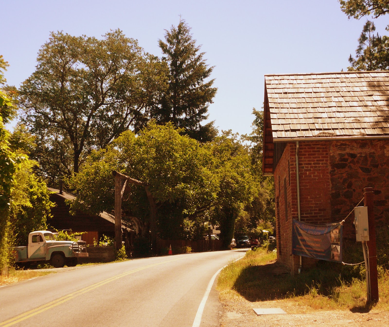
Fiddletown is one of those bergs
that recalls life decades back.
Entering town, a mid-50’s era International pickup sits backed into a
driveway. The owner is shoveling
mulch out of its bed. A few
serviceably restored and nicely kept homes line the road. Oaks, walnuts and, perhaps, elms shade
the street. Over a rise, buildings
from the gold rush stand, some housing businesses, some just standing.
 |
| The Express Office, Fiddletown, CA |
The “Express Office” is one of those just standing, its walkway
choked with wagon wheels, oxen yoke, iron mining artifacts and a safe that had
haled from Boston. Up the street a
way, a chicken crossed the road, but I don’t know why. I stopped for pictures and for one of
those moments when I wonder whether I am still in the 21st
century. I frequently hope I am
not.
 |
| Fiddletown, CA: Main (and pretty much only) Street |
Removing the Shoei from my head, I let the helmet noise
clear. When my hearing returns to
focus, the sounds of a latter day village become clear: the distant bark of a
dog, the chatter of a Rainbird sprinkler, the taunt of a scrub jay, the putter
of an unseen farm tractor, the cluck of that chicken or one of his
cousins. A soft breeze pushes
through gently rustling the elm in front of the Express Office.
It takes five minutes to stroll town and pick up a bottle of
water. I joke with the clerk about
the days when you could drink out of the stream and she nods.
Soon I am again asaddle. Fiddletown Road climbs out of town
rising from scrub oak and pasture to Ponderosa Pine. I look for the turn to the left that will drop me down into
the canyon and lead me over to 50.
And look. And look. Fifteen minutes on, Fiddletown Road
tees into Shake Ridge Road. Right
would take me back to Jackson.
Left would take me to CA 88 and Hope Valley. Still, there must be a secondary road that will complete my
circuit north. Twenty minutes
further, I’ve found none. At a
wide spot where log trucks are entering the road, I turn around.
Following Shake Ridge Road past the former intersection, I trace a stream course into and out of Volcano, a slightly more thriving berg
with a sweet little tavern, a period hotel and a nice B&B. The local NPR station has spoken
recently about production at the community playhouse there.
Enjoying oneness with the Breva I, regrettably, don’t stop
for pictures. I dive into and out
of the tight twists of, now, Sutter Creek Road, more than once being snapped
back to reality by some decreasing radius turns. In time, I find myself in Sutter Creek, the antique town I’d
passed through 75 minutes before just after having left Mel and Faye’s.
I don’t regret not carrying a map
this day. I do regret not stopping
for pictures in Volcano or along the route somewhere. I’m sure there is a way from Fiddletown Road across the Cosumnes, I just took the wrong turn somewhere.
Stroking Edward’s ears, crushing the cigar, finishing the
last dram of Scotch and listening a moment longer to those sounds of the night,
I come to a realization: I didn’t take a turn wrong at all this day. Not one.
o0o

Today’s Route: CA 49 South to Jackson. Return: 49 north to Plymouth.
East on Shenandoah Valley Road; east on Fiddletown Road; east on Shake
Ridge Road. Then west-southwest on
Shake Ridge; right at sign for Volcano; east to Sutter Creek; north on 49.
Resources:
Mel and Faye’s in Jackson, CA: http://melandfayesdiner.com/
Fiddletown (Amador County) CA: http://www.fiddletown.info/
Volcano (Amador County) CA: http://www.ghosttownexplorers.org/california/volcano/volcano.htm
Volcano Theatre Company: http://volcanotheatre.org/site/pages/home.cgi
© 2012
Church of the Open Road Press
Sounds like an awesome trip. It also sounds like the way I tend to navigate from point A to point B, much to my wife's chagrin.
ReplyDeleteI must have the same disease, cuz that's one of my favorite Saturday morning activities. Go for a ride, stop for a nice breakfast, go explore some new or old twisties. About to do it again.
ReplyDeleteSometimes, when I want to make a loop I will take Shenandoah Rd. out and then Ostrom Rd. over to Fiddletown, and back to Plymouth. That makes a real nice loop, if you are just on a short ride. I have used that on poker runs.
ReplyDeleteThanks, Anonymous: Checking the map just now, I see that the Ostrom Road you mention would have done the job; as would a combination of Tyler and Lawrence Roads - which would've taken me to Mt Aukum. And, from there, I coulda found my way over to Highway 50.
ReplyDelete