Sunday, August 26, 2018

RETURNING HOME BY A DIFFERENT ROUTE

notes from an eastern Oregon road trip – part 3 of 4

Once I’ve passed the apex of a trip, once I’m on the return home, for reasons I can’t explain – maybe it’s just because I’m smellin’ the barn – I find myself stopping less frequently, taking fewer pictures and logging a few more miles per day.  It’s an inexplicable and dumb idea.  Especially in this case:  My wife, who flew north to join us in the chase car wouldn’t arrive home until the day after I’d arrive.  What was the point?


The summer of 2018 found the west again beset with wildfires.  Hot, stagnant air had pooled over southeastern Oregon and northern California. A road construction delay proved to be uncomfortable, but a needed opportunity to dismount and stretch legs that might otherwise have waited another hour or so.


I snap a picture of the rolling grasslands realizing how tinder dry they are.


I have contended before and will do so again:  US 395 between Riley and Lakeview Oregon is the loneliest road in America regardless of what the US 50 crowd will tell us. 


The feeling of isolation is compounded when the sky is so hazy that the closest ridges seem covered in gauze and the further ones are gone.

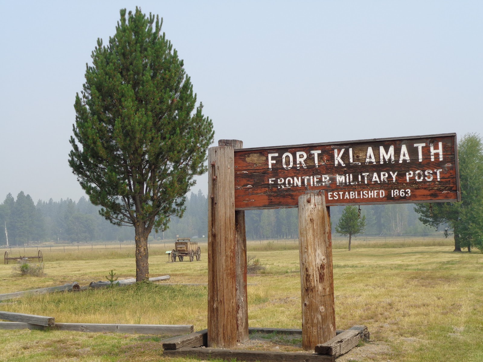
Gas available in Lakeview is a welcome commodity.

The section of 395 between Lakeview and Alturas pulls me back in time and I take a side trip to visit a favored barn.  


Yep.  Still standing.


A couple of tenets that ride with me are:

  •       Stay to the high country for as long as possible, and
  •       Secondary roads are far more entertaining that primary roads.

A prime example?  California’s state routes 299 and 139 provide a less traveled alternative to US 395. West on 299 out of Alturas, I pass through high grazing lands and thickening smoke.  Somethings a-lit up this way.  Of course.  Why not?


I turn south on 139 at Adin, http://www.seecalifornia.com/california-cities/adin.html home to one of the greatest general stores I’ve ever run across.  Clothing. Huntin’ gear.  Home and hardware.  Groceries and snacks.  A nice folks.


Quaffing a root beer, I check in on the saddle that straddles a nearby fence. Deteriorating.  It won’t be long now.

South into Lassen County and over a rise, I arrive at the Eagle Lake Recreation area.  And over that rise, the air seems to have cleared out.

Skirting the lake on a county road, I pass through a burn scar of perhaps just last year. Blackened pines stand naked against that sky and charred, spikey manzanita indicate that the latest fire in the area wasn’t the first. 


The sky looks bluer than I remember it ever being.
  

After a night in Chester, the barn smells closer than ever.  Travelling a familiar state route 32 I descend from the Sierra/Cascade into a Sacramento Valley, even in a good year, is beset in an August haze.


The bee-line from here to home actually winds through the heart of the two-weeks-ago Mendocino Complex fires.

Highway 175 which provided a firebreak for most of the “River” portion of those blazes but didn’t fully prevent the conflagration from jumping the pavement.

Click to enlarge for detail

I can still smell the ash.


Home is thirty minutes away and a shower will feel real good.

© 2018
Church of the Open Road Press

Tuesday, August 21, 2018

A FEW DAYS IN THE SHADOW OF CHIEF JOSEPH

notes from an eastern Oregon road trip – part 2 of 4


Wallowa Lake and the surrounding Wallowa Mountains are the enchanted northeastern Oregon home of the Ne-moo-poo.  Cycles of glaciation over eons created a topaz-blue lake flanked on the north and east by moraines of till scoured from the mountains that form the southern and western shorelines.  Forests are rich and deep in those mountains, and grasslands in the nearby hills and plans fertile and fruitful.  No wonder the Ne-moo-poo fought to valiantly when the whites arrived.

In Thunder Rolling in the Mountains, a piece of young adult historical fiction by Scott O’Dell, the maiden daughter of Chief Joseph says: “The whites called us Nez Perce, although that was not our name.  They said it meant ‘Hole through the nose.’  None of our people ever put ornaments in their noses, but when the whites decided something was so, nothing could change their minds.”

Something the whites had also decided was so, I thought as I read that line, was “Manifest Destiny.”

Joseph famously lead his people on a grueling journey of escape from the relentless efforts of the US cavalry lead by General Howard.  After months and nearly to Canada, worn out, starving and with children freezing and many young men dead, he surrendered to Colonel Miles saying, “Hear me my chiefs.  I am tired. My heart is sick and sad.  From where the sun now stands, I will fight no more forever.”

He would never return to Wallowa.


This would be our second visit to Joseph, Oregon and to the impressive mountains and waters of Wallowa County.  Joseph, the town, has preserved its rustic western heritage adding a few hip eateries and a couple too many t-shirt shops.  

The museum in the old bank building is musty and great https://co.wallowa.or.us/community-services/wallowa-county-museum/and the street side displays of public art is engaging.

Securing lodging in a lovely ranch style house at the north end of the lake, our initial view was breathtaking.


Shifting winds, however, brought smoke from area wildfires as far away as both California and British Columbia.


Still, the serene view provided ample respite between the three days spend riding north and the three days of returning.


Hells Canyon is an hour of serpentine pavement away. Somehow my camera didn’t make it into my tank bag – a bane of being an old guy on a motorcycle, I suppose.  https://www.fs.usda.gov/detail/wallowa-whitman/recreation/?cid=stelprdb5238987


Long time readers may note my railroad-buff-ness.  So, the opportunity to ride the rails – well pedal the rails – from Joseph to nearby Enterprise would not be missed.

The grade is slight between those two villages with the return trip being the uphill – though gentle – portion.  


The two-person pedal cars are quiet, light and easy to propel.  The one we piloted provided excellent exercise for my game knee – exercise said knee does not receive while riding on the big Yamaha.


Heron, osprey, crows, cattle horses and even a coyote were seen from the right-of-way. All in our party wondered how many other abandoned rail lines might offer a similar experience.


Given that we’d rented a house, we elected to eat in rather than out. The nearest big grocery store is located in nearby Enterprise.  Also, in Enterprise is the Terminal Gravity Brewery. We loaded ourselves in the chase car and stopped in for some suds.  http://www.terminalgravitybrewing.com  


Ten years ago, I’d ridden the Wallowa Lake Tramway to the top of Mount Howard (to the victors go the spoils) too late in the day to explore.  http://wallowalaketramway.com   


This time, the timing mistake would not be repeated. We enjoyed the ride up with its 4,000-foot elevation gain, the two-plus miles of trails around the summit, inquisitive little kids being coached, counseled and exposed to these wonders by their parents, and the views afforded though limited by a smoky haze.


The wildflowers seemed to have reached the end of their season.


But reason was offered for their existence and a rationale for us caring for them.


From lake level, we’d notice hang-gliders drifting off the mountain and sailing over the waters.  Atop Mount Howard, we came across their launching point.


Not the sport for me, I’m afraid.

The trail back to the tramway offered breathtaking views of the surrounding mountain, or perhaps that breath-taken-ness had more to do with hiking at the 8500-foot elevation.


We caught up on a lot of reading and solved many of the world’s problems during the placid evenings on the cusp of Wallowa Lake.


Mounting up and heading off the next day, we lamented that this beautiful place wasn’t just a bit closer to home.


Chief Joseph’s story, and that of the Nez Perce – as well as pretty much all of the native tribes of North America – is not unique in human history.  Theodora Kroeber, in her book Ishi in Two Worlds (University of California Press, 1961) suggests:

Such invasions have occurred many times, and continue to occur in the history of mankind, but also as well in the history of all forms of life; they are part of the biological urge of each plant and animal to make or to take a place for itself and its descendants.  Invasion, then, is a necessitous act in the Darwinian sense of struggle and survival; it is instinctive, primitive and in itself inhumane.  [page 48]

For more insight into Chief Joseph,
Moulton's book is an excellent resource.
Over fifty years of motorcycle touring, I have ridden through once lush meadows now crept in with sage, or once verdant forests now burn scarred due to lightning and populated by chemise and manzanita, due, in large part to environmental changes that benefit the newcomer over the species choked out.  I appreciate and understand the rather sterile, biological explanation Kroeber offers. In the human circumstance, the environmental change has to do with the introduction of disease as well as the employment of technologically advanced weaponry.  So, I get it.

But, having visited the Wallowa Mountains so sacred to Joseph and his people, I don’t particularly like the role my predecessors played in this natural progression.


o0o

Next: Returning home – by a different route.  That’s what the wise men did, isn’t it?

© 2018
Church of the Open Road Press

Monday, August 20, 2018

RANGELAND, SMOKE, HISTORY – AND ENGAGING ROADS

notes from an eastern Oregon road trip – part 1

Annually, my long-time buddy from Washington state and I, from California, meet in the middle for a couple-o-day ride somewhere in between. Our wives follow in a chase car.  


Our 2018 destination would be Wallowa Lake in northeastern Oregon near Hells Canyon.  Here are some photos of the journey north…


Dunsmuir, California is my traditional first night stop, not because the accommodations are spectacular, but dinner at Café Maddalena is. http://www.cafemaddalena.comUnexpectedly, the French Cuisine rivals anything pretty much anywhere. I enjoyed the line-caught cod on a bed of sautéed chard, oranges and heirloom tomatoes with a sip or two of French Sauvignon Blanc.  Then there was the cake…

Outside, a Union Pacific freight gave one echoing blast on its air horn, signifying it was stopping on the mainline.  I know this because I drove a locomotive once – and I do mean once.


Dunsmuir is the crew-change spot on the historic California and Oregon line.


The old roundtable still exists.  Not sure whether it’s operable under the weight of the huge powerplants running the rails these days.


North out of Weed on US 97 is the painfully beautiful tribute to Siskiyou County’s military service personnel.  Inspired by Vietnam era Hilt, CA native “Ace” Cozzalio, a series of stark metal sculptures represent the many and varied circumstances we ask our young people to endure for us.


The HLZ or Hot Landing Zone is particularly gripping as it depicts the selfless efforts of one chopper pilot (Ace) as he attempts rescue of the crew of another.

I didn’t intend to mislead my fourth graders forty years ago when I told them that Modoc chief Captain Jack had been executed at Fort Bidwell for his part in the assassination of General Canby - the only US Cavalry General killed in an Indian war (you can look it up) - during the Modoc War.


Stopping at Fort Klamath (north of K-Falls on OR 33) for a bathroom break, the docent kindly corrects my mis-information and points me to Jack’s final resting place.  He relates that Jack and three colleagues were dispatched on the same day, but that two others received last-minute reprieves.


Six graves were dug; only four were utilized. Fascinating.  I resolve that county parks are not places one should simply fly right past.


Any tour up this way must include a trip around the rim of Crater Lake.


This day, even at elevation, hazy-air residue from fires both to the north and south, cloud the view.


Meeting up with riding buddy in Bend, OR and following a wonderful repast at Barrio, a delightful tapa restaurant - https://www.barriobend.com- we headed east and north toward Wallowa County. Eschewing a portion of US 20, we found a pastoral route through the little berg of Alfalfa that leads to an engaging ride on OR 27 past Prineville Reservoir.


It’s nice to find those roads that are marked by thinner lines on the map!


Another thin-lined road takes us to the Painted Hills Unit of the John Day Fossil Beds.


A mile-plus of graded gravel leads us to this view point and an explanation placard.


John Day, Oregon has little to acquit itself.  Heck!  John Day, an early 1800s fur trapper who was murdered up on a tributary of the Columbia, was never even in the area.  The tributary – and now the town – bear his name.  Other than being pretty much half way between wherever we were and wherever we’re going, we probably wouldn’t have stopped.  

We overnighted there on an evening when the Grant County (named for US Grant prior to his involvement in the Civil War) rodeo was in town…


… and caught some early morning sunlight in the belfry of the local 1890s era church.


Curiously, some of the history recounted on the sign outside this historic structure has been "redacted."


Somewhere along US 26 stands the remnants of a lumbering community frozen in arrested decay.


We dismount for a hike down the road that splits the fenced-off derelicts and meet up with an area sourdough in the cab of his aging Chevy pickup. 


“You mind if we walk down your road?” we asked. “Why, hell no!” he replies and then spends the next twenty minutes regaling us with the history of the area, adding, "Mine’s the place with the new roof to protect my stuff.  I roofed the old jail, too.”


We suspect he crafted this cautionary sign as well.


Also out that way is the thriving little berg of Sumpter where the Sumpter Valley Railroad runs tourist trains https://www.sumptervalleyrailroad.org/uploads/3/4/3/4/34346525/2018_brochure_v2.pdfand, this weekend, a hodgepodge group of Portland area motorcycle enthusiasts gathered to camp, enjoy the varied roads, eat, drink and dance because, as one participant put it, “the town’s too small to have much in the way of law enforcement.  We do behave,” he added, “because we don’t want to get disinvited next year.”


In the clutch of motorcycles, I spot the spittin’ image of my old Moto Guzzi Breva and feel pangs of fond remembrance.


East of Baker City, we pause for a visit to the Oregon Trail Museum, a beautiful BLM facility perched atop rolling hills that typify the endless miles of arid west through which pioneers traveled 150 years ago.


Indoor and outdoor displays are captivating and deserve more time than we allowed.


A writer for Rider magazine, years ago offered that “the only thing better than a 500-mile day is two 250-mile days.”  With so much to see and so many interesting people to meet, the 750-mile journey through eastern Oregon to Wallowa County divided into three days supported the writer’s point.


We could have enjoyed an entire week.

o0o

Next:  A few days in the shadow of Chief Joseph…

© 2018
Church of the Open Road Press