The Sunday edition of the local
paper bore a front-page picture of elk grazing in what would be Lake Pillsbury,
had there been water. A trip to
that Coast Range locale had long been on my bucket list and Monday’s calendar page
was blank.

First – A Little History. Lake Pillsbury is the second of only
two reservoirs on the Eel River.
The first, Lake Van Arsdale, was constructed in Potter Valley (1906)
with the intent of diverting Eel River water through a mile-long tunnel to a
powerhouse on the Russian River.
This would supply electricity to a growing Ukiah, California, and
provide additional water to the growing Russian River Valley. The Eel River salmon population did not
get a vote in this project, suffering due to the Eel’s depleted flow. Lake Pillsbury was formed by the
construction of Scott Dam (1921) to store water in order to provide a more
consistent flow down to Van Arsdale and the hydro plant there. The storage of cold water at Pillsbury
and its diversion down the Russian proved to be another blow to the salmon
population.

Today’s Trip involved the pickup
rather than the motorcycle because the quick fix on my throttle hand apparently
isn’t all that quick a fix. The
good news is that Edward, the loyal lab-mix, is able to explore with me. (He’s such a good boy.)
Exiting state route 20 about eight miles east of US 101, we
course our way into the bucolic Potter Valley. A light tule fog clings to the valley floor cloaking ranch
houses and barns in blanket of gray.
Just south of the Van Arsdale powerhouse, a directional sign
points us to Lake Pillsbury some 14 miles away. The road swings east climbing over the shoulder of Middle
Mountain as it follow, at a distance, the Eel River.

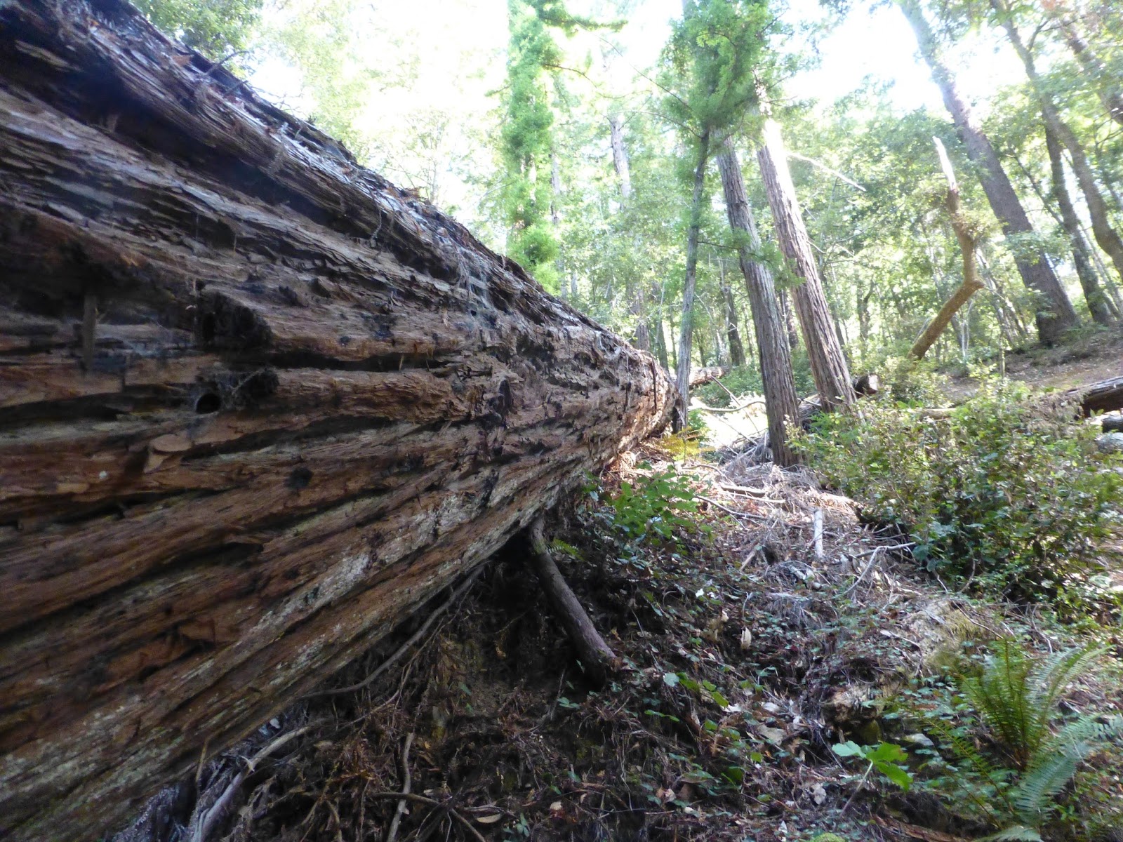
The deep canyon and thick pine forest are reminiscent of
similar spectacular stream courses sixty miles east in the Sierra. Except these are little visited. Quiet. Perhaps a bit more pristine.
The pavement ends and the well-used route is heavily
washboarded this late in the season.
The ride would have been more comfortable on a dual sport bike like a GS
or a Stelvio rather than chattering along in the Nissan Frontier.

After about seven miles, we cross into
Lake County.
An intersection near the lake finds us again on
pavement. Right (south) leads to
Upper Lake, California. Left heads
over a small ridge dropping us into the basin inundated in normal years by
Scott Dam.
But this and the previous three
years have been anything but normal.

Though gated and locked, we pull off the road at a
campground.

The view of the lakebed calls to mind the high mountain
meadows of the southern cascades in Plumas County – my old stompin’
grounds. Many of those meadows
were also inundated becoming reservoirs for a growing California.

A few hundred yards distant graze the elk made famous in the
Sunday paper’s photo.

They see (or smell) us, and begin to migrate away.

Reflections from the low sun glimmer off the dead pool
perhaps a mile to the south. My
Panasonic Lumix’s telephoto capabilities fool us when it comes to estimating
distance.

Breaking off a small embankment, we hike the dry lakebed
seeking what might be left of the pool.

The ground is parched and cracked. Plant life makes is appear as if this part of the basin
hasn’t flooded in more than a year.

One of several derelict buoys warns us about creating wake.

One of several boat slips rests on the lakebed bringing new
meaning to the term “dry dock.”
That dead pool is further away than I want to go so we turn
back toward the campground.

A
curious cow has ventured a bit nearer to us than the rest of the herd, but is
soon called – or frightened – back.

Before leaving the area, we check out the Lake Pillsbury
Resort. Lake Pillsbury is fronted
by both public and private land.
The resort is private, neatly kept, but apparently closed this day.
We opt to return home via Forest
Road M-1, which leads us down White Rock Canyon to the community of Upper Lake
and state route 20. There’s a ten
mile section of nicely graded dirt followed by a paved three mile descent
involving close to twenty hairpin turns.
Edward, the lab-mix, is not happy with the back and forth. I wish, at this point, that I had
ridden the Guzzi. 28 miles south of Scott's Dam, we have descended into a valley of walnut orchards and vineyards and then onto the tiny antique row that is Upper Lake.
The Lake Pillsbury basin is shallow
and should fill nicely after a season of average or better rainfall. It is a place worth revisiting. And the several roads that spoke away
from the lake up the furthest reaches of the Eel River and past promontories
like Snow Mountain (the Coast Range’s highest point) mean the bucket list has
simply gotten longer.
o0o
An “OH! MY!” Moment: Every
good trip has at least one moment that takes your breath away: a surprise or a
view or an incident that you wish you could capture on film or video but
somehow can’t. Today’s was
different.
Resting about fifteen feet
off of Potter Valley road, still frothing, was the carcass of a bull elk. Why it lay there dead or dying, I
cannot imagine. A vehicle had not
struck it or the vehicle would have been disabled as well. Perhaps it had been shot. The fog was pretty intense, and the
curve a bit blind, so the best I could do was utter: “Oh! My!”
o0o
Resources:
A little history (from a so-so source): https://en.wikipedia.org/wiki/Lake_Pillsbury
About Lake Pillsbury Resort: http://lakepillsburyresort.com/
Other area points of interest (this is a cool and
informative site): http://westcountyexplorersclub.com/category/places/north-america/united-states/california/mendocino-national-forest/
© 2015
Church of the Open Road
Press