Monday, July 15, 2019

VENTURING OUT TO BLOODY ROCK


A tale of either or

My transgression this day would be nothing compared to those visited upon this place a century and a half ago. The Bloody Rock trail is closed: I hiked on it anyway.

The Eel River commands the third largest river drainage in all of California.  Several Native American groups called specific tracts of this remote, beautiful and largely overlooked region of the Coast Range home.  Skirmishes and scuffles broke out from time to time, but rarely, historians report, were casualties massive.  Issues related to territory developed only after European settlers found value in grasses for grazing cattle and sheep; and that damned gold a bit further north.

A trail guide informs me that the Bloody Rock trail is a 2.4-mile path linking the parking spot on 20N01 to a wide and cool Eel River.  

Initially, the trail is a poorly used slit in a huge field of knee-high wild oat – it’s officially closed, after all.  The seeds and stickers of these grasses lodge in my long pants.  

Into and out of a stream course, I venture into the northern-most scar of last year’s Ranch Fire – the largest, acreage-wise, in California history.  While I’m seeing the footprints of other transgressors who ignored the trail closure, I’m not seeing the outcrop.  I’d read that the rock itself is a mere .5 mile from the trail head. Some 45 minutes on and descending to where I could hear the rapids of the Eel, I realized I’d missed a stitch along the way.  

Mounting a hill, off-trail, I gain a view of the river canyon and see a rock outcropping, but at only about 20 of 30 feet in height – a jumper might end up with some bruises or broken a leg – it doesn’t look like my quarry.  

Backtracking, I figure I’ll need to engage in further book-learning and come back another time.  Cresting a rise and looking through the scorched brush and naked oaks, a basaltic monolith appears to jut out from the edge of the ridge a few hundred yards west.  I clamber off-trail to get a better view: Aha! Bloody Rock, just as it appeared in some old-time photos.


There’s a rugged little stream course between me and the rock; along with a field choked with wild oat and dense with spiny thickets eager to rip at my clothing and flesh.  The fire-scarred ground beneath my feet is pocked with holes in which once grew oaks and digger pines; their stumps reduced to ash even well below the surface.  Each hole is an ankle waiting to be twisted and I’ve only got two ankles.  I’m hiking alone and it’s a mile back to the Subaru. This is why the Forest Service wisely closed the area.

Enough people died in these parts, I reckon, and after a couple of snapshots, I resume the trail and find my way back to the road. Any spur leading to the top of Bloody Rock must have been obscured with weeds, thus invisible to passers-by such as myself.  My exploration was not a failure, this day, but it wasn’t a great success, either. I’ll return some spring when the trail is open, the grass green and the temps more moderate.


The story of Bloody Rock is this: In the fall or winter of 1859, deep in Eel River territory, a group of Yuki – self-exiled from the Round Valley Reservation – tried to befriend and enlist their ancestral foes, the Pomo, in common cause against what was perceived to be a bigger threat: the influx of whites.  The Pomo rebuffed the offer and, in turn, shared their chumaia (enemies’) plans with the European settlers.  The Americans sought to quell this insurrection and, according to Stephen Powers (1873?), chased the band the over the hills and through the Eel’s canyon, killing many.  A group of 30 or 40 (some say about 65) took refuge atop a basaltic promontory overlooking the river.  A dozen or so settlers cut off the Yuki’s retreat and… 

“…Hemmed in on one side, headed off on another, half-crazed by sleepless nights and days of terror, the fleeing ‘savages’ did a thing that was little short of madness…”. They were offered three alternatives: “Either continue to fight and be picked off one by one, continue to truce, return to Round Valley and perish from hunger, or lock hands and leap down off the bowlder [sic]”

“They advanced to the brow of the mighty bowlder, joined hands together, then commenced their death song…” ultimately, “with one sharp cry of strong and grim human suffering,” leapt down to their death.

Source: Stephen A Powers, The Tribes of California
originally published 1876 (?), page 138.
Quoted in: Frank Baumgardner Killing for Land in Early California
Algora Publishing, 2006, page 259-60;
 (out of print, but available to the persistent)


While websites such as Find a Grave suggest that “many years later the bones of the Indians were still in evidence at the bottom of Bloody Rock,” some others – archeologists and paleontologists – report that no such remains were ever found.  It is known that none of these Yuki ever returned to the reservation at Round Valley leading to one of two conclusions. Either:

a)   The Natives chose the course of the “noble savage” [that term from Powers] and engaged in mass suicide, or
b)  The people were coaxed down from the rock and executed at various, undisclosed locations throughout the wilds of the Eel.

The former offers good theater; the latter, an example of how a culture of superior weaponry and technology can overwhelm and eradicate a culture with lesser tools. *  

Notes

The Church of the Open Road discourages folks from hiking on closed trails.  I shouldn’t have engaged in this activity.

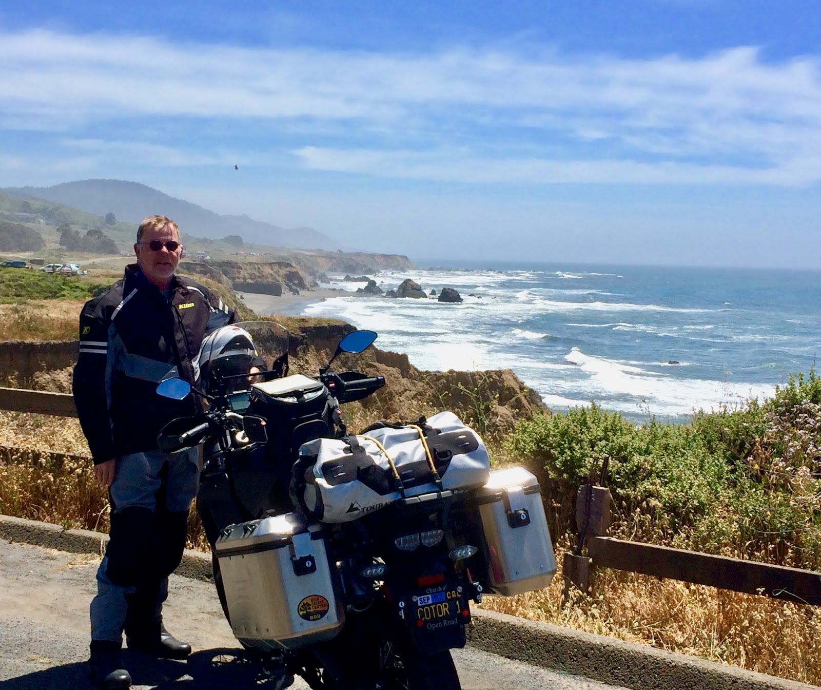
Although I chose to take the Subaru, the Mendocino National Forest maintains miles of delightful dual-sport and/or adventure touring roads: nicely graded, wide, gorgeous views and little traveled.  Next time I’m bringing Enrico, the Yamaha.

Here is a link to a Bloody Rock Trail guide:    https://www.alltrails.com/trail/us/california/bloody-rock-trail  Their “getting there” tab serves as my “Today’s Route.”

Here is a link to the “Find a Grave” listing of Bloody Rock:    https://www.findagrave.com/memorial/104167874/65_yuki_indians-killed_at_bloody_rock

*  This little journey prompted me to ask myself: As human history repeats and repeats itself, is it any wonder that countries like Iran and North Korea seek membership in the club of nations armed with nuclear weaponry?

© 2019
Church of the Open Road Press

Tuesday, July 9, 2019

MY HYAMPOM MOMENT

every road leads somewhere and
every somewhere has a story

I’d never been to Hyampom  before, never driven the busted, winding pavement that would take me past Underwood Mountain to the town.  Or had I?

“Every old road, every set of ruts that clears a ridge, everyone of ‘em goes somewhere,” says a travelling buddy.  After hearing that about a decade ago, a sometimes pastime of mine is to find a place name on a map, research a little about the spot, then take the road that takes me there.

Hyampom, according to Gudde’s California Place Names, may be from the Wintu meaning ‘slippery place.’  Located on Hayfork Creek in Trinity County, it is represented by bold print and a fairly big dot in DeLorme’s California Atlas and Gazetteer.  I decided to pay a visit.


Highway 299 runs east-west from Arcata, north of Eureka, through Redding and out to Alturas paralleling the state’s northern border.  It is a luscious ride with sweeping curves, forever vistas, tall timber, tumbling rivers and lots of climate zones.  In a matter of hours one can drive from ocean fog across ice-carved granite passes and into arid high deserts dotted with irrigated pastures or grain fields.  The last few times I’ve gone Redding to Eureka, the route has been choked with wildfire smoke and related emergency service vehicles.  Not so this day.  Late June morning mists carried from the coast into the nearest redwoods.  Up a rise and into the sun, the fog looks like a blanket of fleece extending out over the Pacific.  

My turnoff is just east of Burnt Ranch.  Underwood Mountain Road (FR 60) follows a stream through some broadleaf riparian forest before climbing across the shoulder of a repeatedly burn scarred Underwood Mountain. 

The road is as potholed as it is paved.  Little used, in my 70-minute drive, I made way for a caravan of three dump truck doubles and only one other vehicle, making dodging the major of the potholes a bit less sporting but far safer.

Once over the top, I wound down and around catching glimpses of the valley that would be home to Hyampom.  I looked forward to a walk around.  At the wye, a sign pointed me to town and to the airport; the other direction would take me to Hayfork.  The road traced the edge of the valley.  Over a rise, a grand barn stood presiding over a cattle-dotted pasture.  Another could be seen in the distance. I motored past a rustic general store and an auto repair shop decorated with junked versions of the cars I grew up with.  

The place looked a lot like Iowa Hill – a berg on a similar road back in Placer County’s Sierra.  Actually, it looked like a lot of other places I’d visited as a result of my map-quest pastime.

I parked in front of the one-room schoolhouse turned antique emporium not open this day.  Outside of an offended Steller’s jay and some soughing pines, the place was as quiet as ten thousand yesterdays.  Ranching seemed to be the Hyampom’s economic base, although rusted teepee burner evidenced a mill that once serviced the local forest lands.  The airstrip was in better condition than the one up on US 395 in Wagontire, OR, and looked quite similar to the landing strip at Dinsmore down on CA 36 – a town different only because it had active gas pumps in front of its general store.  I thought about ambling back toward the car “dealership” but always feel sorta rude about taking pictures of folks’ private spaces or businesses, especially if I wasn’t in the market for what they had on hand; and I didn’t think I’d have any use for that rusty – no, make that patinaed – ’64 Fairlane or any of its stablemates.

No one was on the street as I noodled the big Yamaha back through town. No one to wave at.  No one to ask directions from in an effort to start a conversation.  


At the wye, I headed east on the county road wondering where the Wintu slippery spot might have been.  I didn’t pass any graveyard.  If I had, I’da paid some respect to the lumbermen, ranchers, farm hands and business people who once contributed to a thriving Hyampom.  So many stories can be extracted from a cemetery. The road east pointed toward Hayfork a town designated by the same size print on the map, but one with a grocery store, gas station, downtown, senior center, eateries and traffic.

Courtesy: Trinity County Road Dept.
On the way, I came to a roadwork delay.  The only one in line, I chatted with the young man holding the stop sign. The conversation went something like this, as I recall:

“Business is pretty slow today?” I asked.  “Is it ever not slow?” he said with a laugh.  “You from around here?” I asked.  “Yep.”

When the one-room school closed, he told me, students were bussed to Hayfork, 22 miles away. “If this here road washed out or there was a landslide, we didn’t have to go to school,” he said.  

“So,” I said, “you’re doing this for the kids of Hyampom, right?” “Nope.  I’m just doin’ it for the money.  Mom sold the ranch after Dad passed.”  Then he added: “Sometimes I do have to apologize to the school kids.”   

From the saddle of the Yamaha, I glanced at the pastoral scene in my rearview mirror.  Placid stretches of Hayfork Creek laid across a green valley floor.  A kid might learn more about physics by skipping stones across one of those pools or tossing a lariat over the head of a bawling calf than he or she’d get from several pages of text and theorems, I thought. This wasn’t a bad place to play hooky.  

I couldn't suppress my chuckle.

So, this’ll have to serve as my Hyampom moment: Me, a former school principal, yukkin’ it up with long-time resident: one who’s content to see local scholars miss a day or two of school.  


I drove away reminded that all of those little spots on the map – whether it be Iowa Hill, Wagontire, Dinsmore or now Hyampom – all of those little spots have stories.  When tip-toeing along some decrepit secondary road in the middle of no-where, if we’re lucky, along with a great ride, we might, in a moment, get a piece of one of those stories. 

o0o

Notes:

The Trinity region is located in the distant northwest corner of California. Remote springs to mind whenever traveling any secondary road in the area.  Fuel up before leaving CA 299 and if you find more fuel somewhere along the way, fuel up again.  The cell phone becomes a paperweight in these parts.

A problem with Erwin Gudde’s California Place Names (University of California Press, 40th Edition © 1998) is that once you look up a place name on a page, there’ll be another place name you’ll look up that will link to another and another.  With this book you run the risk of blowing out your bucket list.

© 2019
Church of the Open Road Press

Friday, July 5, 2019

ONE MORE TIME ON NORTHERN CALIFORNIA’S HIGHWAY 1

“The only constants are change and beauty”

It is quite impossible to assume one can ride California’s spectacular coastal highway 1 too many times.  Each day is different.  Each bend always a delight.  Each vista a bit different from last time.


I start my journey with a stop at the Cape Fear Café in Duncan’s Mills for a late breakfast, because they don’t open early.  I opt for a simple omelet and some great hash browns, although their locally sourced menu is much more expansive.  Note to self: Come for Sunday Brunch.

file photo

Because I want to make the most of the coast, I circle back on to the Bohemian Highway at Monte Rio and cruise through stands of redwood on my way to Bodega Bay, where Hitchcock filmed...


Driving out to the head, I cross the San Andreas fault to stand upon samples of Salinian granite, the geologic identical twin of which is found some 140 miles south in the Salinas Valley on the other side of the rift.  (The northwesterly movement of the Pacific Plate relative to the North American is about the same at the growth of a human fingernail: 1.4 inches per year.  This fact invites a little math calculation, now doesn't it?)


Enrico poses in the parking area on Bodega Head…


…and, again at Portrait Point – my name, not anybody else’s, for a switchback curve with just enough shoulder north of Jenner – a few miles north of the mouth of the Russian River.

file photo


Sunshine and salt brine antiques the structures and fence lines we see along the road.  Nothing stays new forever; aging just happens more urgently here.


Coastal access is plentiful and it’s a shame one can’t explore each trail.


The views are as stunning as anywhere in the world, I’ve been told, and living this close… well… why not keep comin’ back?

Redwood groves don’t hug the coastline but grow only a few hundred yards east.  As much as the rises and curves of highway 1 beg us to keep moving, trails in the redwoods provide respite from the saddle.


And the details nearly underfoot are worthy of a pause.


On the costal side, the Mendocino Land trust has acquired sections of coastal prairie with signed parking…


… and access to formerly inaccessible acreage.  


On my first visit to Pelican Bluffs, just south of Point Arena, two Peregrine Falcons swooped overhead and dived to their cliffside residence.  Best I could do was snap a shot of a seagull at a beach a bit further up the road.


The historic Point Arena Lighthouse is maintained by a volunteer organization.


The little museum houses the original Fresnel lens and a bit of history about its origins, power and preservation.


For seven bucks you can climb to the top to look through the glass at the mouth of the Garcia River,


Or brave the catwalk and check out the bluff and surf far below.


Further north, Elk has a funky and hip general store, Albion hosts the last wooden trestle on the highway – a battle royale currently rages about its replacement – Little River offers a classy and pleasant inn and restaurant, Mendocino maintains a quaint but touristy down town and gorgeous trails along the bluffs, Caspar has another restored lighthouse (state operated, fee, worth it!), Fort Bragg overlooks the Noyo fishing port – Silver’s at the Wharf perhaps the freshest, lightest fish and chips on this section of coast (Says who?  Says me, and a visitor from Massachusetts who hailed my choice as he finished mopping up his own) – Westport proves to be the last (though scant) civilization one will see before heading into the redwoods 28 miles to US 101.


As I stopped for a final view of the Pacific and a look toward Cape Mendocino and the Lost Coast – this day, lost in a gathering marine layer – a visitor from British Columbia pulled in and asked if I would take her picture: "It’s my first time on the coast this far south,” she said, adding, “but you must let me take yours.”  Those Canadians...

o0o

Notes and Resources:


More about the Point Arena Lighthouse:    https://en.wikipedia.org/wiki/Point_Arena_Light

More about the Mendocino Land Trust:  https://www.mendocinolandtrust.org

And these riding tips:  

a) Pack layers because weather is variable at any given time on any given day; 
b) plan to not hurry: road slugs, motorhomes and travel trailers – particularly in the summer – are doing their best but are not very nimble; 
c) keep an eye out for single-lane driving conditions as sections of California’s Highway 1 are no match for the relentless power of a hungry sea.

Today’s Route:  Exit US 101 north of Santa Rosa on River Road; west through Rio Dell, Rio Nido, Guerneville, Monte Rio; continue west to historic Duncan’s Mills, if so inclined, for b’fast; otherwise south on Bohemian High through Camp Meeker (check out the zip line) Occidental to Freestone; wet on Bodega Highway to Bodega and Highway 1.  North on Highway 1to Leggett and US 101.

o0o

Closed Circuit to Readers:  I enjoy reading your observations, comments and corrections.  Lately, the Blogger Gods at Google have changed the way I must log in to respond to show appreciation for your comments.  I haven’t figured out what that change is – and, as far as I can tell, they didn’t tell me – so until I figure things out, you may not receive my thanks for your thoughtful attention.

© 2019 
Church of the Open Road Press