Into the Rain Shadow
Here is the precept
this series of three posts will set out to prove: California’s state route 89 is among the most beautiful highway routes
in the entire country.

On a chilly October morning, it’s
tough to get out of bed, especially when being nuzzled by a canine heater. The cozy cabin at Sorensen’s with its
knotty pine interior seems an inviting place to hibernate until April. I asked about this at the front desk
but was informed that the resort is pretty much fully booked year round.

Given a distance yet to travel if we were to complete our
exploration of California’s State Route 89, an early morning constitutional
seemed in order.
The early rays of sunlight illuminate this juniper…

… but in the sheltered mini-canyon of this brook, rocks were
layered in ice.

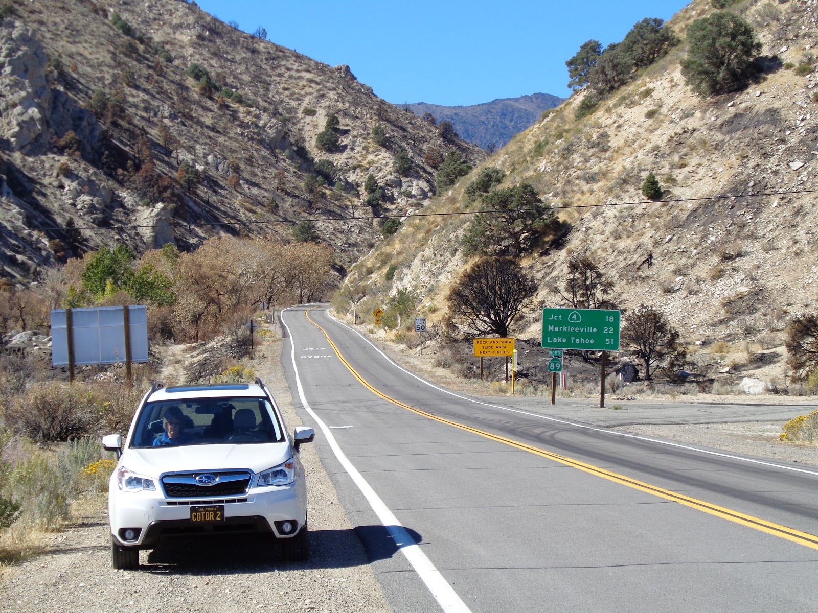
At Woodfords, Highway 89 heads south
to Markleeville, seat of Alpine, https://alpinecounty.com/
California’s least populous county and perhaps the only county seat lacking
full service banking. Through
town, the road rises to another of those 1800s scenes…

… then follows the East Carson River, another grand
playground for the fisherpersons among us…

… where the autumn blossoms from roadside sage (?) contrast
with the standing deadwood of a two-years-ago wild fire. Still, a river runs through it.
Monitor Pass feels like little more
than a rise, then fall, of the roadway.
It is marked by a weathering stone marker…

… set among aspens growing on either side of the route.

Clearing that copse of trees, it is clear we’ve moved to the
rain shadow of the Sierra. The
lush forests of ten miles back are gone, replaced by largely barren hills
dotted with stunted pines and juniper and scruffy brush. Cattle country, if you don’t run to
many of ‘em.

Off to the north, a fire lookout
perches atop a wind-worn Leviathan Peak.
A rugged dirt road winds up the hillside. The Subaru begs us to take it.

About two hundred yards short of the top, a substantial
steel pipe gate blocks the road.
We disembark for a little hike.

The view from fire lookouts is always outstanding. Go figure.

I figure out how to do a panorama shot on my Sony pocket
camera only to return home to discover that the computer screen wide enough to
do justice to the vista has yet to be invented.

Creeping back down the dirt track
and resuming our tour, Highway 89 winds over and around dry, desert ridges,
and, in its final few hundred yards, traces a stream course down to the floor
of Mono County’s Antelope Valley.
Many times, I’ve seen motorcycle riders throttle through
this canyon, ending up on US 395 bearing a grin bright enough that it could be
seen through their full-face helmets.
I recall feeling that grin myself after running the route on one motorcycle or another.
But 395 is where this glorious state route ends.

After more than 300 miles and having
visited lumber towns, volcanoes, pristine meadows, snowfields, granite arêtes
and countless turns and summits and tastes of history, the premise of the
little tour I’d planned held true: State
route 89 is among the most beautiful highways in the entire country.
The only question that remains is: How long until I can do this again, heading the other direction? (…on the bike?)
© 2017
Church of the Open Road Press
Wow, the view from the fire lookout is so vast.
ReplyDeleteHope you are faring well at home and aren't too close to the fires.