Showing posts with label Colusa County. Show all posts

Friday, May 3, 2024

BAITED BY A BUZZARD

 Sorry, No Photo of the Incident…


A good day’s ride on a motorcycle should include at least one breath-taking moment or heart stopping view.  (Note to reader: According to my doctor, I’m ‘spozed to be consistently wearing a heart monitor for thirty days, but I knew I’d be off the grid for a spell.)


The road from State Route 20 to Leesville and Lodoga is rarely taken by civilized man.  Civilized ranchers, yes, but few others.  The route traces the eastern edge of the Coast Range in Colusa County, winding through expansive pastures and past elegant aging barns from a century or so back. (Jerry Brown, I’m told, now lives out this way.)  I’d last taken this crusty road in a nearly new 1991 Jeep Wrangler so how many years ago might that have been?


Straddling the Moto Guzzi, I motored and bounced up a steep section of roadway – more pothole than pavement – twisting up the north end of a lovely rangeland valley.  Around each turn the view became more magnificent in either direction.  To the south, that springtime green valley on the cusp of turning golden.  To the north and west, the still white-encrusted peaks of the Snow Mountain wilderness area. Narrow, with blind turn after blind turn, there was no place to stop for a “Shot of the Day.” 


I reached the summit where the road turned from what they called pavement to a graded dirt and gravel affair that was much easier to negotiate on the motorcycle.  I relaxed my grip on the grips just a bit.  Just as the prior miles were upward twisting, these corkscrewed downward.  To my right, the hillside was steep, covered with tight thickets of chamise and scrub oak.  To the left, the hill was equally precipitous.  I’m sure there was a seasonal creek at the bottom, but it was too far down to see, if I’d hazarded to take a glance off the road.


Rounding a bend, something stirred to my right.  Something big.  I gently touched the brakes when that something burst out of the underbrush.  A buzzard.  A turkey vulture.  Perhaps the grandpappy of all turkey vultures, undoubtedly annoyed about my interruption of his lunch.  Liftoff for this winged behemoth would prove to be a struggle. The massive scavenger slipped below the level of my windshield.  Wings pumping, it couldn’t seem to rise above the brush on either side.  His route was the same as mine.  Dirt road conditions as they were, my speed was cautious. The buzzard’s?  Slower.  


I was gaining on him.  From about three feet behind I could see the gray undersides of his wings, count the feathers that looked like disjointed fingers at the end of those wings and I could even make out the needle-like talons on his red-stockinged feet.  I may have followed him for fifty yards on that pebbly route at one point thinking, if I just goose the throttle a bit, I bet I can probably grab that fella and… But ‘goosing the throttle’ would likely send me off the edge, plummeting into the abyss to come a cropper where my cell phone wouldn’t connect. And there I would lie, squashed beneath the Guzzi, waiting to become the big guy’s next meal.  


Of this, I think the vulture was aware.


In perhaps fifteen seconds, the big bird rose out of reach, tipped his wings slightly to catch the updraft out over the canyon and drifted away.  


I’m not sure what that heart monitor might have recorded, but it woulda been something interesting to explain to the doc.

© 2024

Church of the Open Road Press

Sunday, May 7, 2017

SEEDS OF LITERACY IN THE MIDDLE OF NOWHERE


Stumbling across the Carnegie Library in Bayliss, CA

Circumstance has dictated that once every two or three weeks, I drive from northern Sonoma County to Chico, California.  An aging mother enjoys her son’s visits.  The route from Cloverdale to Williams is pretty static, involving a good chunk of CA 20 over the top of Clear Lake and through the Coast Range.  Wonderful ride even after the first dozen or so times.


Once in the Sacramento Valley, a grid of state highways, secondary roads and gravel byways offers almost unending choices to get from point A to point B. 

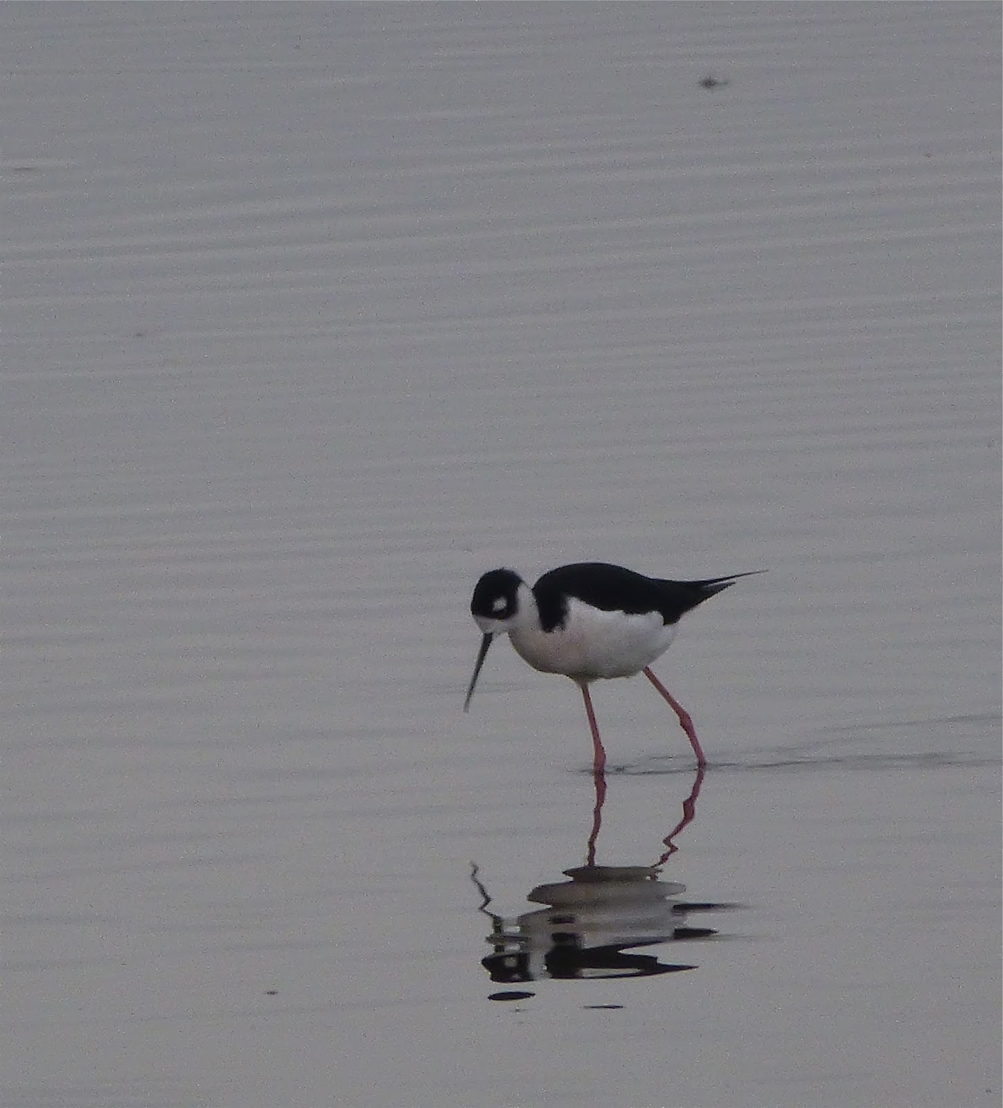
Some routes cross vast rice fields that in the winter months are thick with migrating geese and cranes and throughout the rest of the year visited by herons and egrets. And other waders. 

Their reflection in the glassy, flooded fields against an azure sky (or a gray one) is always a delight.


Other routes split walnut orchards that in summer invite the passer-by to seek the cool shade and pause for a roadside picnic. 

There’s a great collection of long dead Chevy and GMC trucks near the intersection of River and Ord Ferry Roads. 

And lots of old barns both nearby and distant.


The old US 99 W parallels a frenzied I-5 passing through one-time bergs established as whistle stops along the old California Northern Railway: Maxwell, Delevan, Logandale, Artois, Grapit…

Boarded storefronts and tiny crumbling streets remind us of what once was. 


In some places, nothing reminds us.

Ten miles east of the freeway, CA 45 traces the west bank of the Sacramento River. 

The portions atop levees offer sweeping views of a riparian forest with peeks at sloughs now filling what used to be the river’s channel. 

There’s a nice little store in Princeton to stop for a beverage and a snack, a high school and an elementary school and a little other commerce. No working gas pumps, however...

Just north of town, the skeleton of the Princeton Ferry rests, pulled up to the landing where cars – including our ’54 Ford – once boarded to cross the river.


Glenn has a post office and little else.  Same with Ord Bend although a manufacturing plant churns out something at the crossroads. 

Butte City, Afton, Jacinto, all have pretty much come and gone.


Recently, I traversed the valley on Bayliss-Bluegum Road; Bluegum being the out-of-town spot where many young high school boys may have – or may not have –  “become men” after the prom or some other such celebration.  The motel there is now no longer a motel. 

Heading south on CA 45, I turn west.  Signs indicate the Jacinto Grange would hold a pancake breakfast on an upcoming Saturday morning, and if I miss that one, there’d be another next month.

The walnut orchards near the river give way to rice fields on the fertile flood plain of the Sacramento.  Lettered roads – “County Road S, County Road T,” etc – that are little more than driveways, lead to houses and barns a mile or so north or south.  Wading birds stand like statues in the still canal waters next to the road. 

Weed encrusted implements dot the field edges, coated in rust and field dust.


Then, just ahead on the right: a copse of elms or cottonwoods at a crossroad.  Perhaps something major?  I hadn’t seen a store, a post office or a filling station.  Not even a bar.  But I was coming to a something.


Andrew Carnegie was a Scottish immigrant businessman and philanthropist.   Pivotal in expanding the American steel industry, he founded the company that would become US Steel.  By the late 1900s, because of his investments in railroads, railroad sleeping cars, bridges and oil derricks, he became one of the richest people ever in America.  Palling around with the likes of English poet Mathew Arnold, English philosopher Herbert Spencer and American humorist Mark Twain, Carnegie’s affinity for the written word and the import of literacy manifested itself, first with the construction of a public library in Dunfermline, Scotland.  His efforts led to there being more than 3000 libraries built throughout the world with nearly 1700 built in the United States.  There’s probably one near you.  (Chico people, check out the Chico Museum on Salem between 1st and 2nd; folks in Roseville, check out the building adjacent to the arched bridge crossing the UP tracks heading north out of town.)


A placid white building, circa 1910, stands near the shade of those elms in what once was Bayliss. 


I stop for a look.  The paint is fresh.  The lawn is trim.  The hours are posted.  Serving the southern section of Glenn County, California, they’re still loaning books.  


Just not the day I happened by.  Besides, my library card expired decades ago.

I stand on the lawn thinking about the visionary accomplishments of this immigrant industrialist, glad to see that the fruits of his love of literacy still flourished.

What else is to be found by the casual visitor to Bayliss?  Not much.  There’s the store.

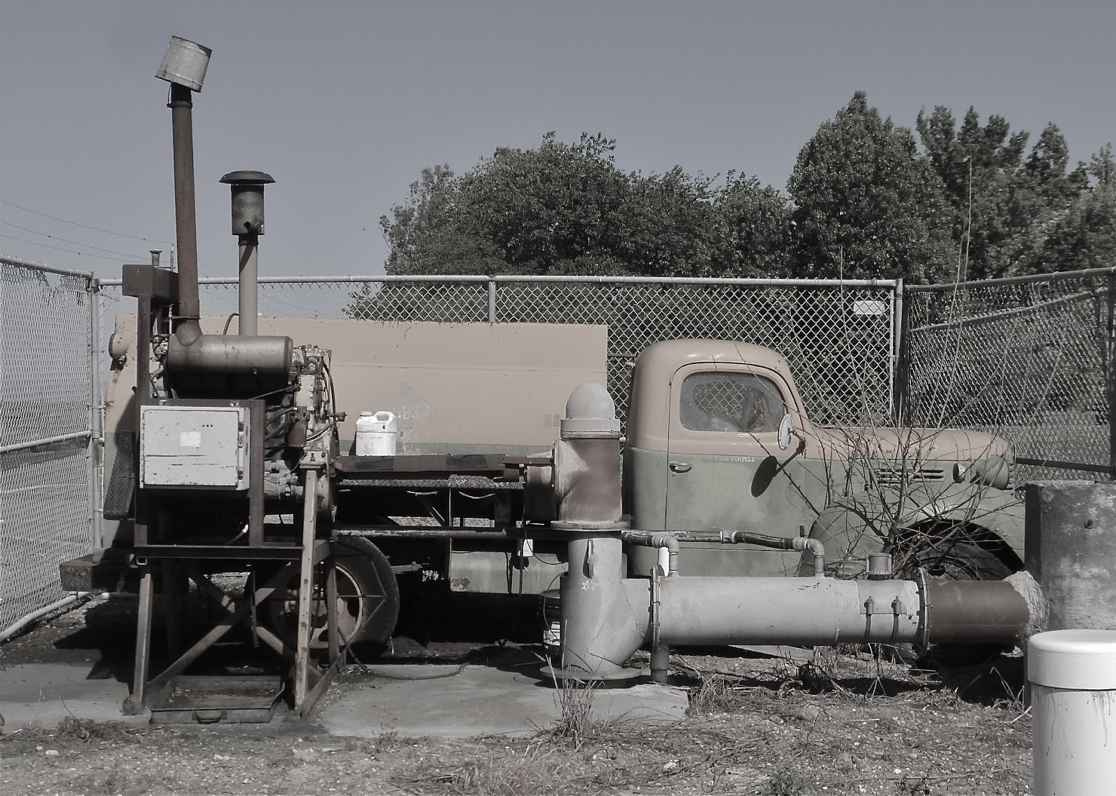
And an excuse for me to take a picture of an old truck repurposed as a source of power to pump water into an irrigation canal.  Or maybe it’s just stuck inside a cyclone fence.


A few miles further on, I come to I-5 with all of its frenzy and fury and high-speed, gotta-be-there-yesterday travel.  In moments, the Carnegie Library of Bayliss, California is a century behind me.

© 2017
Church of the Open Road Press

Monday, November 30, 2015

THE LIFE CYCLE OF A PLACE NAME


Dusk may be the time
when history speaks
in greatest clarity

I drove through Artois, California the other day.  I recall stopping there about five decades back, my parents looking to buy me a Nehi Orange at the local market.  

Long ago, the old store was boarded up.  The main highway through town, upon which this day I was the only traveler, used to accommodate all the major north south traffic on the west side of the valley.  I turned down a back street and explored its crumbling pavement.  A couple of dozen homes, many dilapidated, stand among vacant weedy lots. 

Artois, once a shipment point for wheat, later rice, on the old SP line; once a pit stop for travelers on the old 99W; once a minor crossroad for those heading to the Sacramento River; Artois, now houses the production facilities for California Olive Ranch Oils and the occasional well-preserved Victorian, but little else.

Fort Bidwell is located at the north end of the Surprise Valley.  With a good tail wind, you could spit and hit Oregon.  Driving up that way is a lot like travelling back through time. Peter Lassen led immigrants through this country in the 1848.  Modoc leader Kintpuash (Captain Jack) was hung here in 1873 having killed US General Canby in the Modoc War.   

The vast expanse of the valley floor now supports cattle operations and small time hay farms each whose ownership goes back generations.  The main street through Fort Bidwell is utilized by equal parts pickup trucks, horses and those little four-wheelers made by Honda or John Deere or Kubota. 

It is easy to imagine when there might only have been horses.  Now, however, the school is closed, the general mercantile is closed and the Chevron closed about two years back, or so I’m told.  If a dime were burning a hole in your pocket up this way, well, you’d just have to let it burn.

Sites, California is nine miles west of Interstate 5.  It is just past the easternmost ridge of the Coast Range.  The road is rifle shot straight from Maxwell to a spot called Mills Orchard, where it twists and turns to follow the course of a seasonal creek up into the hills.  There was a town here, once.  We know, because there’s a sign that says we’re looking at the town square (circa 1887).  Sites, the town site, is at a crossroad.  West, one would travel to Lodoga; south, one would find the remnants of Leesville; east, one retraces the route down to Maxwell and a rail connection north and south. 

Whatever they once did at Sites – range cattle? – they’re not doing much of it anymore.  Recent talk has centered on damming that seasonal creek and using the resultant basin as surface storage for pumped in Sacramento River water in case the state should ever find itself in daunting drought conditions.


There is mystery in old places that are on their way to no longer existing: mysteries involving their birth, their heyday and what brought about their demise.   

My mind often wanders to the hearty families that busted ground and settled the area. 

I’m curious as to whether the old time residents thought it as beautiful or as romantic as I do from the seat of my motorcycle, or if it was just a place that, like a tool, they used until they found no value in any longer and moved on.  Then I wonder if any descendents ever come back to check on things.

Generally, the road to a near-forgotten place name is an interesting one. 

It may or may not be paved.  It likely never was engineered. 

It probably goes over and around the streams, scenery and hillsides rather than through.

On the off chance you encounter someone coming from the opposite direction, two things are practically assured: somebody’s going to pull over and both you and s/he will offer a neighborly wave.  I wonder about those who walked the road to market or to school or to the rail line and what they may have thought about those who later drove it with our smoke-belching mechanicals.  It’s easy to get lost in that or some similar reverie. 


Place names are born because something was about to happen here.  They die because that something quit happening.  The whys are innumerable: the gold played out, the wind blew the topsoil away, there was a flood, there was a drought, someone built a dam, someone built a freeway, someone built a Wal-Mart in the next town over.  Or, the off-spring saw that proverbial “Par-ee” and decided not to return “down on the farm.”

I enjoy a little first-hand visit with history perhaps staying to watch the sun dip behind a hill and darkness creep across the landscape.   

Dusk, I’ve found, may be the time when history speaks with the greatest clarity.  At these times I counsel myself: It is wise to have this little visit before all the history is erased by the winds of time and our relentless march toward efficiency. 

It is good, I conclude, that there are so very many little roads: each going somewhere.  Each going to a place name.

© 2015
Church of the Open Road Pres

Thursday, March 7, 2013

WEST SIDE OF THE RIVER

on California’s State Route 45

Click on any picture, if you must, to expand
State Route 45 provides a welcome alternative to I-5 when traveling the valley north of Woodland.  Coursing through farm lands, orchards and tiny bergs, the two-lane carries us back in time a bit. 

Along the way it tempts us with occasional views from the west side of the Sacramento River.  Although many lanes lead to the leveed banks of the Sacramento, few provide an alternate to Route 45.  Most of these little avenues offer access to farmers and fisher-people simply dead-ending at the river.


The run south from Hamilton City is straight and smooth.  Once past the Tehema-Colusa Canal levee, undeveloped land allows for nice views of the Coast Range off to the west and riparian stands of oak and black walnut nearer the river. 

Within a few miles, almond orchards present row upon row of, on this day, delicately blossomed trees.  Their fragrance is high on my list of favorites: a virtual tie with my local cigar guy’s humidor.

The highway passes through bergs that, before interstates, served as mercantile hubs farmers and ranchers. 

An equipment repair shop may or may not stay open along with taverns, small, whitewashed churches and tiny country stores.  I stop for bottled water and an apple, not because I need the water or the apple, but because, I figure, they need the business.

Route 45 intersects 162.  I cross the river here to visit Butte City and see what’s going on.  Not much…

…except for this pleasant reflection of peach blossoms.

Area kids go to school in Princeton with those making it through the twelfth grade legitimately called “Princeton Grads.” 

In the 50s, the Princeton High School Band made regular treks to South Bend, Indiana to perform at Notre Dame football games.  No longer.  No money.  Heck, there may not even be a band any more.  Where’s Harold Hill when you need him?

Out this way, the almond orchards have yielded more to English walnuts.  These black-stumped, silver-barked trees are spaciously organized into cool groves that might invite a nap on a hot summer day.  Cautiously wondering how the landowner might react, I don’t do this.


Colusa provides a respite from the saddle.  Once among the largest wheat transshipment points in the country, the town nestles the west bank of the Sacramento about half way through a sojourn along state route 45.  Devoid of big box stores, the main street seems to be weathering some less-than-the-best economic times. 

A stroll through the neighborhood backing the business district, one finds a nice collection of Victorian and craftsman style homes on spacious lots along tree-lined streets. 
 
125 years ago, the state powers-that-be strongly considered Colusa for the location of the northern Normal School, an institution for training teachers. Fifty miles distant and home to US Senator John Bidwell, Chico won the bid for this school.  One can only imagine the flip-flop of town fortunes had the decision gone the other direction.


Beyond Colusa, the valley has become more of a sink, a low land in which water may collect for weeks at a time in winter.  Rice is now king as are wintering fowl.

Heading south from a junction with SR 20, highway 45 slips through glens of standing oaks, then veers onto the tilled valley bottomland.

Soon, it curves back riverward at Grimes.  Another country store and little church make this a community.  From here, the highway appears to follow straight lines, making ninety-degree turns at, perhaps, historic property lines. 

A nice alternative is Wilson Bend Road. 

This little gem wanders through a few more fields and orchards and offers few more miles of levee top views of the river. 

The pavement isn’t great, but I’m not in a hurry or I’d be over on I-5.

The final stretch is a pleasant jaunt through the Great Valley, although I always get to Knight’s Landing wishing there were a few more miles of state route 45 to enjoy.

o0o

Today’s Route:  I-5 to Orland or State Route 99 to Chico; SR 32 to Hamilton City (Glenn County).  From Hamilton City, south on SR 45 through Ord Bend (what’s left of it), Glenn (ditto) to Four Corners.  Here, consider a side trip over to Butte City just to check things out across the river.  Continue south of SR 45 through Princeton (find the old ferry pulled up on the bank in the shadow of a warehouse; but watch out for the little yip-yip dog who guards it!) to Colusa.  SR 45 joins SR 20 through town splitting about five miles south of town.  Bear right, through Grimes, Grand Island and on to Knight’s Landing.  Alternate south of Grand Island: left on Wilson Bend for a few miles of levee riding.  From Knight’s Landing SR 113 leads to Woodland or Yuba City; county road E-10 hooks up with I-5 at Zamora.

o0o

In Colusa, I pulled onto a side street, visited the nicely maintained city park and then hoofed over to a newly opened tacqueria occupying once-vacant and dusty storefront.  The carnitas tacos were subtly smoked and gently spiced.  They came with homemade refrieds and well-seasoned rice.  The proprietor, who may or may not have been born on this side of that new fence folks seem to be so excited about, made chipper conversation with customers, asking me about what I was riding and where I might be headed.  He was equally deft engaging a Hispanic gent who’d parked a working copy of a Chevy truck out front.  As I departed, the young restaurateur bid me “safe travels.”  I left feeling gastronomically satisfied.  I couldn’t help but reflect on the opportunity this young man had sighted and seized.

© 2013
Church of the Open Road Press