Showing posts with label US 95. Show all posts

Friday, April 17, 2015

LESSONS FROM THE SIDE OF THE ROAD


 Tonopah, Death Valley, Bridgeport Loop Tour
An epilogue

Two great pleasures of taking to the open road are the things you are bound to see and the lessons you might draw from seeing ‘em.  The recent trip to the west’s vast Basin and Ranges through Tonopah, Death Valley and Bridgeport provided much to see and much to think about.

At random, here are some photos that didn’t fit any of the trip’s narratives and some possibly unrelated thoughts that occurred while in the saddle.

If old trucks could talk, they’d have interesting stories to tell.

50s era Tonopah Commute Vehicle
Wonder how much he'd take for that '64 Bronco?
Gold, silver, talc and borax: it’s easy to think that mineral wealth is endless.

Playa - just dig here...
At Badwater

A town of 1,100 inhabitants is considered large, but a town of about 200 may support a radio station.

Back streets of Goldfield, NV
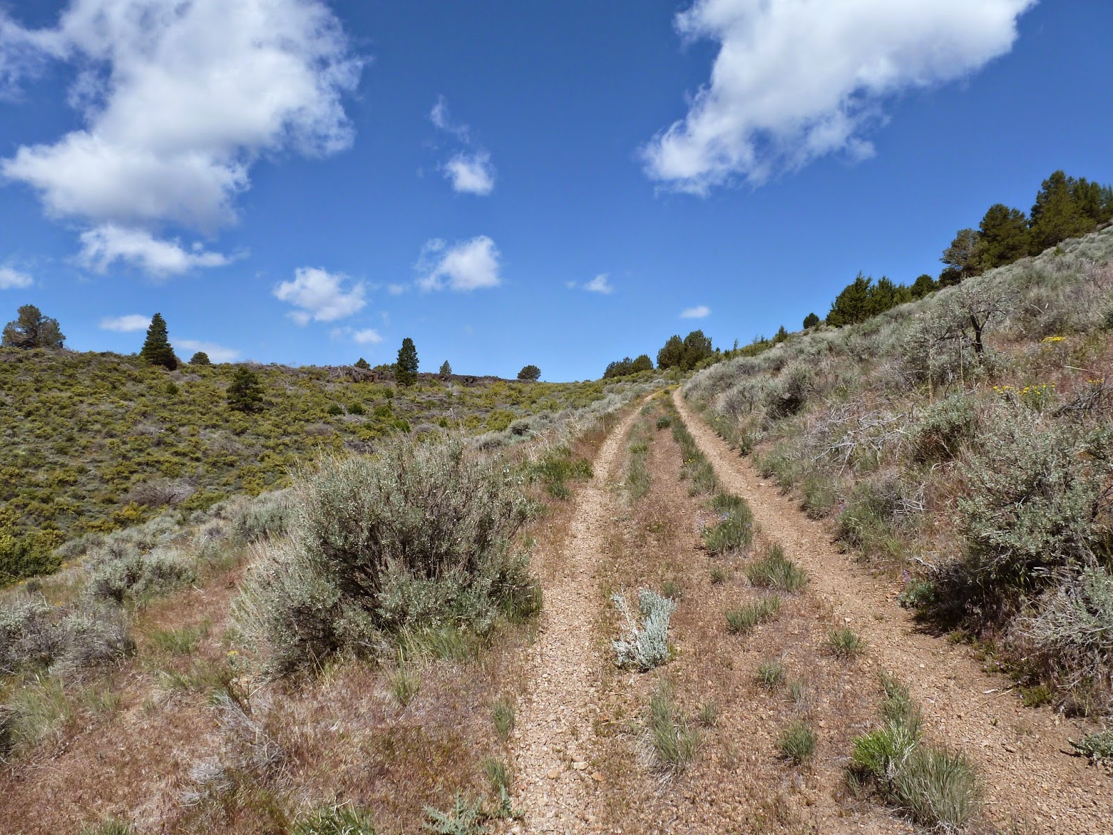
Every pair of ruts that leaves the highway and heads over a distant hill goes to someplace where something happened.

Whether in the Mojave...

...or on the Modoc Plateau

When personal transportation consisted of a burro carrying one’s grubstake, people still got around.

Keep stuffing what?
In the sparsely populated region east of the Sierra and west of the Rockies, if someone to whom you were related lived in town for a spell, someone in that town still remembers ‘em.

Nearest neighbors
It takes longer for scars to heal in the Basin and Range, but the scars tell us interesting things about the grit of those who settled the region.

People out this way seem not to simply get tired of something and toss it out; rather, they wear stuff out, sometimes leaving it where it dies.

Graveyard
The power of sunrise is incredible as is the voice of the hills in the sunset and the depth of the starry night sky.

Sunrise over the Mojave
A small town museum is not a place to pass by.

When the environment doesn’t provide enough moisture to support thick, green and beautiful forests and meadows, one becomes aware of how subtly beautiful the bedrock of our plant can be: colorful, spacious, clear, yet forever in constant, sublime change.
In bloom

Panamint Valley

History fades, but not quickly.

Detritus along the T and T

The first dozen and a half years of my father’s time were spent growing up and roaming the gritty extents of Utah, Nevada, Arizona and the Mojave – our continent’s great Basin and Range.  After his stint in the Army during World War II, he found himself Californi-ized: landing first in the LA Basin and later relocating to the northern Sacramento Valley where he and Mom raised two boys.

The Old Timer
Dad always seemed to itch for something.  I couldn’t understand what.  We had lakes and trails and meadows and forests; blossoming orchards in the spring, cool mountains to retreat to in the summer, ripened fruit during harvest and warm, wood-fueled heat during our dank, foggy winters.  What more could you wish for? I wondered.

One of the missions of this tour was to walk in ‘the Old Timers’ footsteps from seventy years ago.  In that effort I was totally unsuccessful, except that now, I think I know what that itch was all about: the recurring, seductive call of the desert.  That wistful call will serve as this trip’s principal lesson.

© 2015
Church of the Open Road Press

Monday, April 13, 2015

TRACKING THE T & T


The Tonopah, Death Valley
and Bridgeport Loop Tour: Stage 2

Railroads are fascinating constructs.  They appear as solid and permanent as a hydroelectric dam or a high-rise office building.  Their power seems indomitable as you race next to one on a highway paralleling the tracks.  The mournful cry of a distant whistle at dusk can tug at the emotional, romantic wanderlust in many, but in a fracas involving a locomotive and a truck or car or cow or human, there will always be a winner it will always be the same one.  Yep, railroads are permanent and powerful fixtures on the landscape.

Or are they?

US 95 runs north south splitting the state of Nevada.  The desert terrain includes subtle rises and falls punctuated by uplifted ridges of ancient rock.  With a careful eying of the territory to the east and west of the route one will find man-made ridges and fills that run counter to the dry washes and low-lying hills that define the desert floor.  These routes have gentle curves and gradual slopes.  Pausing along the highways to walk one, it is a short time before you run across a derelict spike, rusting in the high desert sun.

Railroads are anything but permanent.  Short lines were constructed from the mill to the timber stand or from the crusher to the mine or from the refinery to the oil field.  When the timber or the ore of the oil played out – or when a world war prompted a repurposing of steel – the tracks were pulled leaving little more than a man made slug’s trail to melt back into the landscape.


Along US 95, Goldfield is a near-abandoned settlement that owes its existence to both the rich veins of silver and gold found there and the railroad that moved ore out and goods, machinery and people in.  The grand hotel suggests that the economy was lively at one time.  The boards across her windows indicate that her time has passed.

A Dodge Brothers truck’s carcass helps us to carbon date those glory years.

And like a ship ashore, an aging “crummy” indicates that, although the tracks are long gone, rails once serviced this community.


This day’s trip had two purposes.  I needed to arrive at Stovepipe Wells in Death Valley to meet up with friends, but I also wanted to walk a stretch of the Tonopah and Tidewater Short line that Dad had worked in the thirties.  Time being my enemy, when I reached Beatty, I opted for a quick jaunt through town before deadheading it into the park. 

While the Tonopah and Tidewater never made it to Tonopah, a mural on the side of a cinderblock building indicated it had made it here.


Four miles west of town on NV 374, the BLM has posted a sign inviting me to visit Rhyolite, less than two miles off my route.

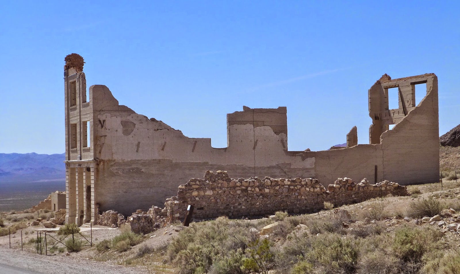
Skeletons of buildings make Goldfield, back up the road, seem like a still-thriving community.

At the top of the hill, cordoned off with a cyclone fence stands the impressive hulk of what used to a depot. 

The Spanish-style architecture suggests that this building wasn’t simply tilted up in a day or two.  Rather, it was to be a bustling hub of industry and culture. 

Across the way rests a caboose that didn’t make it out of town before the mine played out.

Back down the hill about three hundred yards, a tiny museum perches with a distant view of the highway that leads west to Death Valley.  Stopping in, I ask the curator if the station supported the T & T.  “No,” he said. “Originally, that was the Bullfrog and Goldfield.  I don’t know much about the Tonopah and Tidewater, but I’ll be they can tell you a lot back at the museum in Beatty.”


“My father worked on the T&T with a buddy named Ralphie Fairbanks back in the late 30s,” I said to the young woman at the counter of the museum back in Beatty after my hello.  “Can you direct me to any information about the old route.  I’d like to walk a bit of it.”

She pulled a volume from a shelf, opening it to a page with a map.  As I poured over it, an older-than-me gentleman, who’d been nursing a Styrofoam cup of coffee at a table in the back asked: “Did you know Ralphie Fairbanks?”

“No,” I replied.  “My Dad grew up in Barstow – Baker, actually – and he and his best buddy, a guy named Ralphie Fairbanks, went skinny-dipping in the Barstow High School pool the day before its grand opening, loaded talc into boxcars and eventually spent time working as gandydancers on the T&T…”

“Well, hell,” the gent said.  “I used to work for Ralphie Fairbanks when I was a kid, before he became a (Nye) county commissioner.  What’d you say your name was?”


As it all turned out, I wouldn’t be walking in Dad’s footsteps this trip.  He and Ralphie, living in Baker, had probably worked for the T&T out of Ludlow, California – too far south for me this time around.  The grade to Rhyolite had been assumed by what would become the T&T, but the tracks of the old Bullfrog and Goldfield spur were pulled out in the 20s.

I did purchase a copy of the book wherein one finds the T&T route map.  In it also, I found a picture of Dad’s buddy Ralphie, standing with some of his many siblings beneath the shadow of his grandfather, area pioneer and patriarch, Ralph “Dad” Fairbanks.  I could not determine which kid in the shot was Ralphie, and wish now that I’d asked the gent in the museum for a hint.

o0o

Resources:

Serpico, Phil.  Tonopah & Tidewater Railroad: Nevada Short Line.  Omni Publications, Palmdale, CA.  © 2013.  $60.00.

The little museum at Beatty: http://www.beattymuseum.org/  (Little museums are such great places to stop and visit with the locals.)

© 2015
Church of the Open Road Press

Friday, April 10, 2015

LOOKING FOR DAD IN TONOPAH, NEVADA


The Tonopah, Death Valley
and Bridgeport Loop:  Stage 1


Tonopah is a dusty Nevada town perched in the high desert about halfway between Reno and Las Vegas.  Its tired Main Street is rimmed with vacant buildings.  The town is an easy one to pass through traveling north or south on US 95, unless one has a reason to stop. 

I did.

Just out of high school and having dropped out of Cal a half-semester in, Dad had lived in Tonopah, or so I thought.  A visit to retrace ‘the Old Timer’s’ footsteps had long been on the list prompting this journey.

A year ago, I’d driven through, pausing long enough to walk a few yards along the old Tonopah and Tidewater right-of-way north of town and swiping a rusty spike.  Dad and his buddy Ralphie Fairbanks had tamped ties on the T&T as gandydancers, the story goes.  Perhaps he’d hammered the very spike I’d found.


Rolling into town, I took a room at the historic Mizpah Hotel.  Dating back to the earliest tents of this windswept mining outpost, the Mizpah survived Tonopah’s growth, decline, resurrection and yet another decline.  The hotel soldiers on today thanks to the efforts of Sonoma (CA) County’s Cline family.  This winemaking family purchased the vacated and crumbling hulk some years ago, intent on returning the hotel to its days of glory.  They’ve done a nice job.  On the premises they’ve established a great little bar and a fine restaurant called the Pittman Café.

Among the first things I do when entering a berg for the evening is spend an hour or so walking around.  A “city” block back of the hotel, the Tonopah Historic Mining Park’s arched entrance invites.  Entering at 4:55, I was politely shooed out at 5:00, closing time.

Across the street from the Mizpah, I discover that Jimmy Dean’s classic song “Big Bad John” was grounded in reality.  A bronze statue commemorates the heroic actions of a miner named Bill, whose name, sadly, doesn’t resonate musically as well as “John.”


His story:


The used bookstore stays open until 6:00 and there I purchased a copy of the local history.  Reading at dinner, before shut-eye and again at breakfast, I discover tales of drama, grit and despair that the weary buildings hide behind their plywood-boarded windows.

Jack Dempsey fought here twice – though never a championship bout as I’d thought.

The silver in the hills once supported this town, which, for a time was bigger than Las Vegas.

The Army built an air base east of town breathing new life after the silver played out.   
A mural depicts the cavalcade of activity there, but no mention is made of the “Right Stuff” boys training which purportedly happened there.

And the T&T never made it to Tonopah.  The T&T had branched off the Santa Fe at Ludlow, California making it only as far as Beatty some 120 miles south.  Dad hadn’t driven that spike I’d purloined a year ago.  I should have been disappointed.

Instead, I just headed for Beatty.

o0o

Note: Prior to my morning departure, I am seated at the Pittman Café counter reading through the final few pages of the book I’d purchased.  Sidling up and taking the stool a couple of seats down, a younger fellow chats up saying: “That’s a pretty good book, idn’t it?”  “Seems to cover the history pretty well,” I reply.   
The engaging young gent shares a little more about the town and the history and I tell him I’d just discovered that Dad hadn’t lived here, although I thought he had.  He chuckles and asks me to crack the book open to page 6.  “The baby in the picture?  That’s my grandpa Al.”  The caption read in part:  Tim Hooper on the left, Jenny Crow Hooper holding baby Albert Hooper.  August 15, 1902.  “I’m still livin’ on the property he homesteaded…”

o0o

Resources:  McCracken, Robert D. “Tonopah: The Greatest, the Richest, and the Best Mining Camp in the World.” Nye County Press. 1990.  $20.00.

For info on the Mizpah Hotel, the place to stay in town, check out: http://www.mizpahhotel.net/

© 2015
Church of the Open Road Press

Thursday, May 30, 2013

DINING WITH NEW FRIENDS – THE HISTORIC MARTIN HOTEL

On the Cedarville, Burns, Winnemucca Tour
Sixth in a series…

Nevada exists, or so the wisecrack goes, to provide Interstate 80 something to cross at night.  And Winnemucca is the halfway point.  The late CSU, Chico Geography Professor David Lantis labeled such towns GEMs for Gas, Eats and Motel.  Freeways across the west are dotted with these.  Indeed, the moniker is what this gritty little city has devolved to.  Sadly, its rich herding, mining and railroading heritage is viewed only by those not numbed by a perception of monotony along the I-80 corridor. 


A good day in the saddle or seat ends between 3:00 and 4:00 PM.  Lodging is secured – this time at the Best Western.  A power nap followed by a quick shower reenergizes me to take a hike around wherever I am in order to work out the kinks and discover what’s what. 

Postcard photo
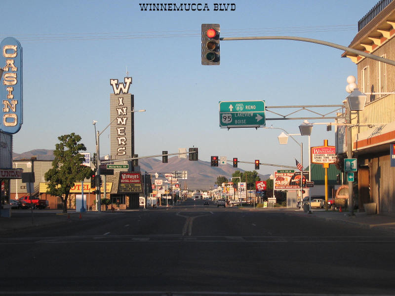
Winnemucca’s main drag (Winnemucca Boulevard, US 95) is as Dr. Lantis described with the addition of a couple of casinos and a Yamaha dealership.  I walked past a string of both nationally and locally owned motels and nationally and locally owned eateries.  I came to Bridge Street.  Up this way seemed to rest the more vintage buildings in town.  Most are home to antiques stores, county offices or vacant.  To lengthen my stroll, I hiked along West Railroad Street parallel to the UP tracks figuring I’d take a look at the Amtrak station.  We’d been through the previous summer on the Zephyr, but hitting town while snoozing around midnight, missed it.  A spare but new brick waiting area, the facility looks more like a whistle stop than a full-fledged station.

Across from the depot, a wood frame building, certainly over 100 year old, stands.  All parking in the immediate area was available.  Had it not been for the various flags hung from the balcony, I’d have thought it was just another empty building.

Returning to the Best Western I informed travelling partner, John, that I might be on to something.


The Martin Hotel has earned a listing on the national register of historic places.  No longer offering rooms, it does offer drinks to parched travelers and dining to both locals and those simply passing through: Basque family-style.  “Basque Family Style”: that’s a redundancy right there.

A hour and a half after my discovery of this place we were seated with twelve soon-to-be good friends dining over course after course of freshly prepared soups, salads, baked beans and entrees served by a delightful wait staff.

A carafe of red wine is placed in front of us – rightfully – owing to the fact that wine is a staple.  While dining on a luscious cream of mushroom soup, cloved roasted carrots, mashed potatoes, and (my choice) tiger prawns over linguine (the lamb shank certainly looked good!) the conversation began. 

To my right dined an eighty-plus-year-old matriarch who, with family, was half way between home and a grandchild’s university graduation.  Winnemucca would be their GEM this evening.  Through banter she discovered my yen for motorcycle touring.  The conversation came to life as she talked about Italy – including Stelvio Pass – Germany, France and England: all viewed from the seat of a BMW motorcycle with her late husband. 

“Which model was it?” I asked.  “The black one,” she replied.  “We shipped it back and drove the thing all over the country before we got home…”

How her eyes danced at the thought of her husband and their journeys through the continent, the US and through life.


The historic Martin Hotel: I was glad I’d wandered off the main drag and found this gem among the GEMs.

o0o

Resource: Embedded in the history of Northern Nevada exists a subtle impact of the Basque people who grazed sheep and cattle in what appears to be a pretty unforgiving landscape.  The Martin Hotel is touted as one of Nevada’s best Basque Restaurants.  I can’t disagree.  Their website: http://themartinhotel.com/

© 2013
Church of the Open Road Press
Wednesday, May 29, 2013

POMP’S CIRCUMSTANCE: LOCATING JEAN BAPTISTE CHARBONNEAU


On the Cedarville, Burns, Winnemucca Tour
Fifth in a series…

The high sweeping desert of Oregon is as good a place as any to enjoy eternity.  Sacajawea’s son, Jean Baptiste “Pomp” Charbonneau would know.  A bit west of Jordan Valley, Oregon is where his epic tale ended – a tale that might not have been so epic had it not been for the confluence of history and compassion.

As an infant, he was carried halfway across the continent as his mother guided Meriwether Lewis and William Clark on the Journey of Discovery.  Along the Clark Fork of the Yellowstone, flowing out of the Absaroka Mountains, according to the Journals of the Corps of Discovery, “[William Clark] carved [Jean Baptiste’s] name on a rock formation which he named Pompey’s Pillar for Sacajawea’s child, who traveled in his dugout and had become ‘my boy Pomp.’”*

Clark’s de facto adoption of the young lad ensured an education in a comparatively urbane St. Louis, and subsequent travel to Europe where he rubbed elbows with the aristocrats of the day.

Returning to the States, a twenty-something Charbonneau guided parties across a rugged interior.  He assumed the gritty lifestyle of his French trapper father for a time.  Having acquired several European languages as well as those native to his mother, he served as an interpreter for touring dignitaries great and small travelling throughout an untamed west.

In ’49, like others, he was bitten by California’s gold bug.  There, he dabbled in politics and achieved a respected position in his communities, including service as alcalde of San Luis Rey, California.

As California played out, Charbonneau headed northeast – perhaps along the route of yesteryear’s Idaho Oregon Nevada Highway – to cash in on the gold strikes coming from the Idaho and Montana mines.

In 1866, crossing Jordan Creek – or somewhere out here near Danner Oregon – his mount misstepped, throwing him into the stream’s icy waters.  A chill must have taken hold because pneumonia set in and here, at a place called Inskip’s (or Inskeep’s) Ranch, he rests.


Our inside-the-4-Runner banter subsided greatly as we disembarked the vehicle and stood at the foot of his grave.  Monuments and placards from the State of Oregon, the Oregon Historical Society, the Lemhi-Shoshone Family Descendants and the BLM mark the spot.  Each adds a bit of detail to Pomp’s legacy.  (Click on any picture to expand.)  The breeze pulls at an American flag flying gloriously in an azure sky.  Aside from the Inskip-Inskeep farm across the road, the horizon is nothing more than rolling volcanic tablelands dotted with sage.  Why not here?

Pausing for a moment at the resting places of those larger-than-life participants in history’s cavalcade offers time to reflect on their accomplishments and our own.  Captain Clark’s care for the son of a French trapper and an Indian maiden doubtlessly contributed to the richness of Pomp’s later life.  And the boy, as a man, passed those gifts forward. 

A couple of moments of silence accompanied us back into the rig.  What contributions had we made?

o0o

* Bernard DeVoto (ed.): The Journals of Lewis and Clark, Houghton Mifflin.  1953.

© 2013
Church of the Open Road Press