On the Cedarville, Burns, Winnemucca Tour
Second in a series…

When nature ruled, geographic
divisions among peoples came mainly in the form of ridgelines or oceans –
heights or expanses too great to cross.
Clans or colonies of like-cultured people populated environs drained by
a watershed or two. Each little
region provided the stuff necessary to sustain the tribe. Occasionally, one group would cross
over to trade or, perhaps, make war with a neighbor.
Then, a bunch of us white guys from Northern Europe came
along and decided we could improve the situation by applying a straight edge to
flat map. Just look at today’s
Middle East to see how well that strategy played out.
Note that even our earliest thirteen colonies were bounded
by a combination of river courses and straight edges while the tribal lands of
the Algonquin and Iroquois were not.

In the 1870s, Allexey Von Schmidt was retained by the
California State Boundary Commission to survey and mark those arbitrary lines across
a real landscape. He didn’t always
get it right. California’s
northeast corner with Oregon and Nevada was proscribed as being at the
intersection of the 42nd parallel and the 120th
meridian. Although in 1872, he
found that the 1863 survey had missed the corner by over 3 miles, his realigned
marker wasn’t accurate. To quote
Maxwell Smart: “Missed it by that much…”
Geographer John and I set forth this day to find the Von
Schmidt marker and then find the place it was supposed to be. Unlike Von Schmidt, we had a GPS. Unfortunately, also, unlike Von
Schmidt, we hadn’t packed waders.
Equipped with that GPS unit on
John’s i-Phone, we leave Cedarville travelling north on Modoc County Road
1. Skirting the west side of Upper
Lake, we pass through Fort Bidwell, the historic site where Captain Jack was
executed after having assassinated the only US General ever killed in an Indian
war. (Quick! Who was he?)

A graded and graveled CR 1 zigzags east and north climbing
the Warner Mountains and affording expansive views of the Surprise Valley to
the south.
Tuning in the GPS about thirty minutes on (time, not
distance), we note a road intersecting from the east, but can’t immediately
spot it from the seats of the big Toyota.

Crossing into Oregon, we know we’ve missed our mark. Backtracking, we find the road barred
by a primitive but securely locked gate.
Plan B would be to access the marker from the Oregon side.

Using the GPS in concert with DeLorme’s Oregon Atlas and
Gazetteer, we spot a pair of ruts tracking off to the east-southeast –
ungated.

Crossing a glade we drive nearly a mile to the point where
the road descends into the Tenmile Creek gorge. From here we would walk.
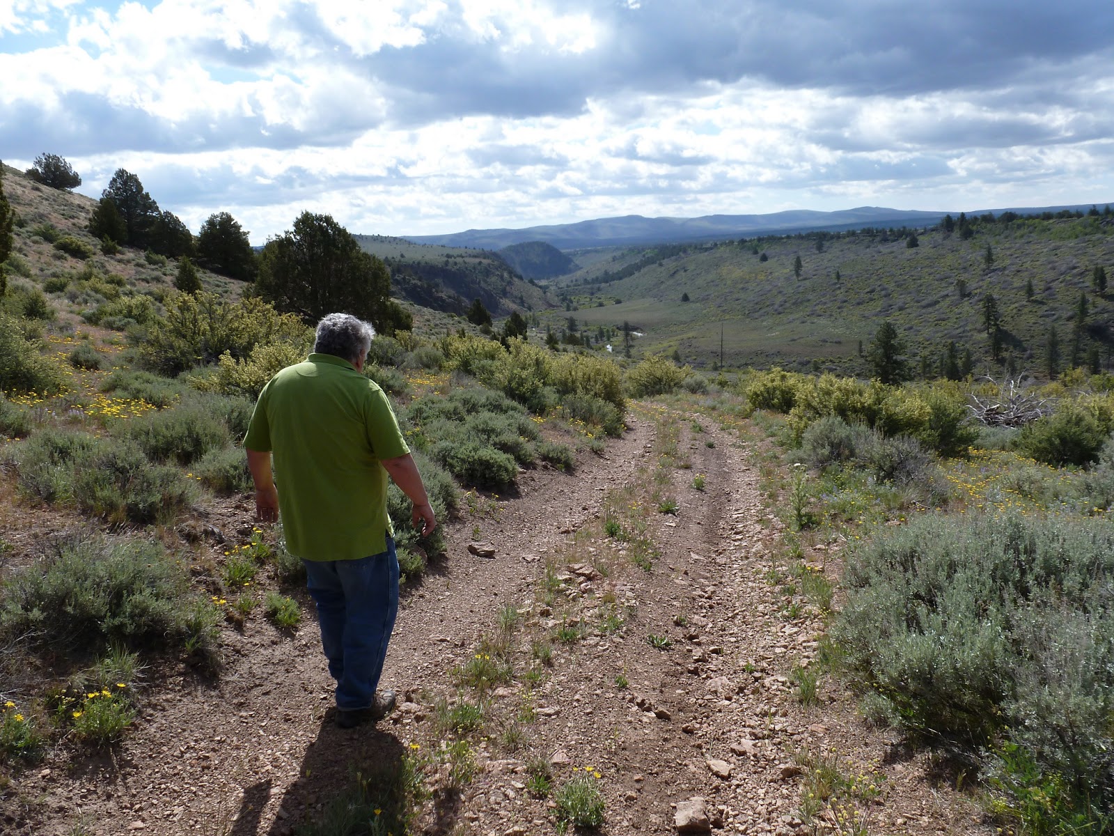
The steep descent clings to the hillside for about a half-mile,
dropping, perhaps, 350 feet to a primitive campsite.

There, a BLM stake advises that the road ends, although tire
tracks evidence that some may not comprehend.

Hiking to the creek, it is easy to pick out a route up the
canyon wall on the other side.
Somewhere, just over the crest, Von Schmidt placed his monument. The GPS tells us, however, that the
actual corner should be somewhere on the face of the bluff. Connoitering, I think I make out the
point.
I dip my fingers in the rushing water of Tenmile Creek,
preparing to wade across. The
current is swift, the bottom slick with river-rounded rock, and burbling with icy water
undoubtedly snow just a few chains upstream. The 4-Runner rests nearly a mile away. The day is young and our plan includes
many more miles of four-wheeled exploration. Wouldn’t do to be soaking wet, bruised or banged up just to
traverse the 1500 feet from where I stood to some arbitrary point on the
landscape.
“In the fall,” John suggests, “the creek will probably be
dry or at least not this swift.”

I couldn’t disagree.
We turn and head back up the hill leaving one item on the bucket list
unchecked until autumn.
o0o

No comments:
Post a Comment