Butte and Plumas County’s historic transition
between the Sierra and the Cascade

About forty-five years ago, my first
motor vehicle was a Honda Trail 90.
Living in a small northern California town, more than a few poorly
graded roads provided playground for me and my little machine. Early on, a loop I discovered carried
me from Butte County, into Plumas and back to Butte on countless miles of rocky
dirt roads.
Last week, I revisited.
The Skyway leads from Chico, California,
on the floor of the Sacramento Valley, to Butte Meadows, way up in the
hinterland divide between the Sierra and the Cascade. The first 12 miles is the main route from Chico to Paradise
(above the fog but below the snow.)
The Skyway threads through country once occupied by northern Maidu,
49ers, lumbermen, and now, retirees.

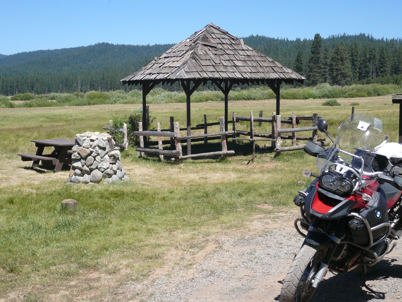
A pleasant stop is at DeSabla, a small PG&E reservoir fed by flumes
built a century ago by the timber industry. The flumes in the area make for good hiking – scenic and level.
Three or four years ago, a rangeland fire swept across the
Paradise Ridge. Primary evacuation
down the Skyway was cut off, as was a parallel route down Pentz Road to
Oroville. Nervous residents took
to their Buicks and headed northeast on the Skyway. Beyond Stirling City and Inskip, the road turns to a
playground for Jeepers but a death trap for oil pans on those Buicks.

In response to the fire, the Feds
funded the paving of the route from Inskip to Butte Meadows, providing a safety
valve for future such occurrences.

The job is half done.
It should be completed by November of 2012, although locals seem to feel
that’s a bit optimistic. Where the
Humbug Road spits off to the east, we are warned that the Skyway is
closed.

Humbug Road, the story goes, gets its name from a shyster
who gathered disconsolate miners at what’s now about 9th and Main in
Chico and charged each a toll to lead them to a pristine valley where the
creeks were lined in gold. “Jest
put yer hands in an’ scoop it up!”
More later…

Along the current route, vestiges of those early days may be
seen in the random rough-hewn cabin that has stood 150 blistering summers and
frigid winters. We don’t build
houses this way any more.

Remnants lay strewn in the high country
meadows. I expect the miner who owned one of these was livin' high on the hog.

Up the way is a lake I remember from my Trail 90 days. We’d circumnavigated this pool on a
Forest Service Road who’s last alpha-numeric designation was “X.” Little did we know this meant ‘dead
end.’ To hasten our return, we
decided to run our little tiddlers straight across what appeared to be a dry
lake bottom. Twenty yards out, the
crust gave way and early day biking buddy John left a nearly new size 9
Converse All Star to fossilize in the mud; riding the forty-plus-mile distance
home to Chico on a 55cc motorbike with a bare right foot.
At Humbug Summit, we pass from Butte into Plumas
County.

Signs weather winters, wildlife and/or shotguns poorly, thus the
demarcation is painted on the bark of the nearest Douglas fir.

In everyone’s life there is a place that one supposes heaven
matches. For me, this will always
be Humbug Valley. Perhaps six
miles east of the summit, the rugged road has been graded and graveled,
becoming a pleasant ride into the broad high Sierran pasture.

The area has been peopled since before time.

A huge white house was built late in the 1800s that, I was
relieved to see, still stands. I
kept thinking that the next hundred yards would afford the perfect picture, but
with each spin of the wheel, the massive structure simply faded behind the
stand of Ponderosa pine.

An informative plaque indicates that the origins of Humbug
Valley might differ a bit from the myth promulgated by the historians back in
Chico.
A soda spring bubbles from a fissure on the east side of the
valley along Yellow Creek. Used to
be that the locals provided cone shaped paper cups for passers-by
enjoyment. None today.
The cruise into Chester involves a
few more miles of nicely maintained forest route followed by six miles of
high-speed activity on two state highways. Lunch would be at the Pine Shack Frosty. Decades ago, the proprietors there
promised “Your meal free if Mount Lassen erupts while ordering.” Volcanic activity in the area is pretty
cyclical. With this visit, said
signs had been removed. Like the Mayans of yore, somebody,
I’m sure, has something figured out.
Humboldt Road crosses back over the
Sierra-Cascade Crest about seven Pacific-Crest-Trail miles north of
Humbug. It, too, is nicely
maintained on the Plumas side.

Ruffa Ranch is one of those high country enclaves that the
romantic in me suggests would be a grand place to run cattle, pan gold and hang
with Maureen O’Hara.

I could pluck a fresh bloom for her every day.

But, as in all John Wayne westerns, trouble would lurk not
far away. Humboldt Road passes
directly under “Robber’s Roost,” just before crossing into Butte County. Some say the legendary Black Bart
frequented this outcrop.

Down the hill on the Butte County side, we find pavement and
enjoy the run into Jonesville. The
hotel here is in private hands, but the community is organizing fundraisers to
refurbish the historic stage stop.


A bit further on, we wind along Butte Creek and into Butte
Meadows. The Outpost is a
well-known watering hole and a destination for those seeking one of the best Chili Burgers on the planet.

South from Butte Meadows on the Skyway (when open) one
returns to Paradise. West,
Humboldt Road joins State Route 32 that curls down the hill to Chico.
Forty-five years had passed, but nothing much had
changed. The ride felt very good.

Today’s Route: From Chico at SR 99: east on the Skyway
through Paradise, Magalia, Paradise Pines, DeSabla, Stirling City (named for the
Stirling, Ohio, where the boilers had been manufactured that ran the area steam
donkeys), Inskip and toward Butte Meadows. Right (east) on Humbug Road over the summit,
into the valley and out to Lake Almanor. [Route numbers on the Lassen National Forest can change their designation based upon whether the road is graveled, graded or primitive.* On this tour, expect to experience all three.] North on SR 89; east on SR 36 to Chester. Return: West on
36; south on 89; east on USFS Rd 309 about a mile; right on USFS Rd 308
(Humboldt Road) tracing Butt Creek through Ruffa Ranch and Robber’s Roost to
Humboldt Summit. Continue west to
Jonesville, Butte Meadows and either Paradise (south) or Chico (south west).
*Resource: Carry this map – Lassen National Forest © 2008, US Forest
Service. Ten bucks very well
spent.
© 2012
Church of the Open Road Press
Nice piece. It's been way too long since I hiked the flume at De Sabla.
ReplyDeleteFollowed the link from WG: Was here once before. Thanks for investing the time in this!
ReplyDeleteAfter college Dad panned for gold up there during the depression. Turned some good color but cleared out because there were people who took the treasure hunting too seriously and he was concerned for his health.
I've been though on my own a few times. It's tempting to set up and defend some little place to call "home".
We have been on some similar rides, but you are way ahead of me! I rode up Skyway from Magaila to Butte Meadows this past weekend - it is paved all the way and very nice. The Outpost featured a very good Hot Pastrami sandwich and a very large Great Dane! I am preparing to duplicate your route over Humbug summit to Almanor and back on Humbolt Rd, also on a GSA - waiting for the Forest Service map. Thank you for a very entertaining blog!
ReplyDeleteHi! Just wondering if you've been up Humboldt Road in the last few years. I'm looking to access the PCT as close to the mid-point as possible, (sometime in July). From what I can tell, Humboldt Rd, near the summit, will get me there. I'm wondering if my car (not 4WD) will be able to handle the road. It seems from this post that it might just work! Any insight? You have a really interesting and well-written blog, by the way. Thanks!
ReplyDeleteWith reasonable ground clearance, you should have no problem getting to Humboldt Summit in a car. In the 70s, I took my Beetle there several times; later a 2-wheel-drive Toyota pickup (before they were called "Tacoma.") Be sure to lock you car and secure any personal belongings...
DeleteThanks for the response, and also for the heads up about security!
Delete