…exploring a road not-yet-taken…

A blue sky domed the late October day and exploration of a road not-yet-taken called. Plus, the Subaru was still relatively clean from having been to the car wash three weeks ago: and that simply wasn’t right. The road in question – one I’d examined on multiple maps – would take me through the heart of Yuki Territory.
When communities of people lived naturally, their universe was, in general, centered on a water course and bounded by the hills and mountains drained by that stream. Trade, if it occurred, happened because folks crossed the ridge or paddled a distance down river. Sometimes that resulted in conflict; sometimes simply trade.

I’d first read about the Yuki in a couple of books that exposed the genocide of northern California Native Americans who’d been forced-marched to the Round Valley Reservation near now-a-day’s Covelo. Geographically, among the closet groups herded to that spot were the Yuki whose ancestral territory centered on a length of the Eel River. Before European incursion, I read, game was plentiful enough, bulbs and berries and acorns abundant and salmon teemed in the river. Seemed Eden-esque to me. I’ve never been sure whether the narrative about Native Americans living in harmony with nature was more truth or myth, but I figured a visit to this remote area of California’s Coast Range might help sway me one way or the other.
I picked up Mendocino Forest Road M1 at Lake Pillsbury. Unpaved, M1 – also called 1N02 – runs the entire north-south length of the Mendocino National Forest.

(Fun Fact: No paved road crosses the Mendocino National Forest either north south or east west. Plan on visiting on your dual-sport or in your 4-by.)
At Cabbage Patch, about four miles northeast of the lake, M1 breaks to the north with signage indicating this is the route to Hull Mountain; but also indicating that Eel River Station is reached by not making this choice. My Forest Service map says otherwise.

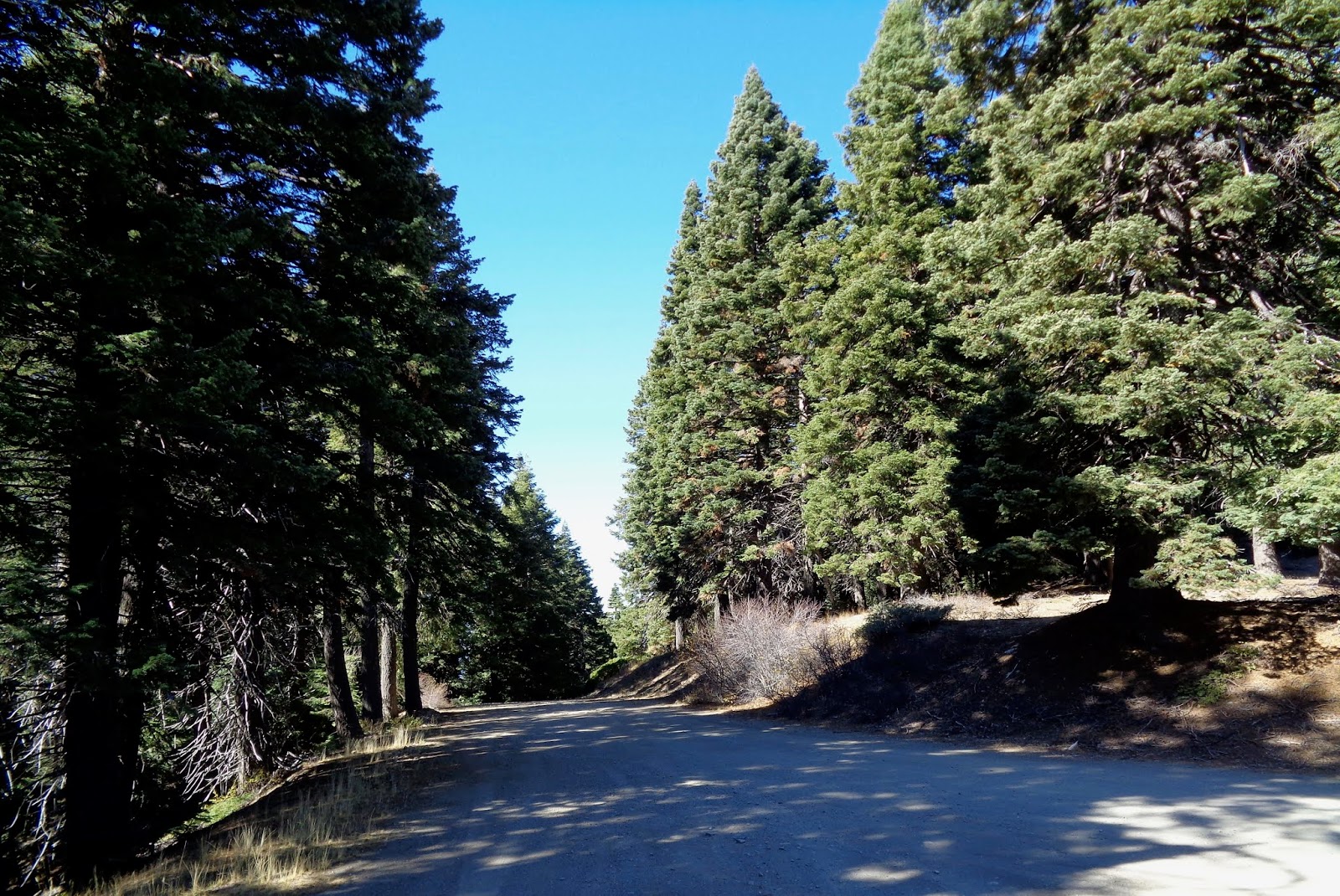
The climb to Hull Mountain is steep and not well graded. I worry that the Subaru, trusty though it is, with its lower profile “touring tires” on fancy wheels, might be a bit too delicate for this purpose. I grind over ruts and rocky bumps thankful that I’d left the big Yamaha at home.
A view to the south unfolds in the mirror, but I wait until I reach the spur to Hull Mountain to stop. A short hike up the service road leads me to a derelict set of stairs…

…the remains of the old fire lookout…

…and a remarkable view of Lake Pillsbury with a sliver of Clear Lake in the distance.

200 yards up the road comes the first marker for the Yuki Wilderness, a roadless area that stretches west from M1 into the depths of the Eel River Valley.

Glancing back toward Hull Mountain – elevation 6800+, I note that the frost has already tinged the leaves of the deciduous scrub in the area.

In the view northward, the hills look almost afire…

…perhaps not a good metaphor as just up the road remnants of something not-so-long-ago stand waiting to fall as their anchoring roots rot below the surface.

The scene prompts me to rethink that question of living in harmony with nature. If a huge fire roared through a couple of centuries back, what could the native Yuki done about it? On the other hand, given that they didn’t thwart the small lightning caused blazes of eons ago, the forests likely never grew so thick and tall that a big conflagration had the fuel to blow up into a fire storm. Perhaps our native cousins lived in harmony because there was no other choice.
While the road from Pillsbury to Hull Mountain is primitive, beyond that promontory, it is graded and even engineered with drainage culverts. Ruts are gone. No bedrock protrudes and I wish I’d been riding the big Yamaha.

I stop for a view to the west where the hills gently slip to the river. The grasses seem to invite deer and other grazers and I believe the Yuki’s piece of Eden was something worth preserving. Thus, the Wilderness designation.

Continuing north, I climb through the yellow pine belt and come across the newly established Berryessa – Snow Mountain National Monument.

The fir and pine sough in the soft breeze offering a sound reminiscent of the old sheep camp, a few miles from here, where family would spend early summer holidays back in the 1960s – across Mendocino Pass from Yuki Territory.
But white folks grazed something here.

The steel gates are modern, but the tell-tale remnants of nearby timbers rotting into dust suggest cattle had been run up this way since the days of George E White, the would-be baron who orchestrated the demise of the Round Valley Reservation back in the 1860s and 70s.
Breaking out of the forest, M1 gently descends the west-facing shoulder of Etsel Ridge. Round Valley and Covelo are nestled at the bottom. I imagine that the distant valley is where the Yuki may have taken shelter – along with deer, bear and the occasional puma concolor – when the snow flew in the high country.

Over the course of the next six or eight miles I wind around the end of the ridge and down through mixed oaks, finally following a creek that will empty into the Eel River at Eel River Station. I pause for a shot of the one-lane bridge; one I’d walked across a few years back and wondered where the road I’d just traveled came from.

Now I knew. Yuki Territory.
© 2019
Church of the Open Road Press
No comments:
Post a Comment