Showing posts with label Yolo County. Show all posts

Tuesday, March 24, 2015

WALKING THE FULL BELLY FARM WITH DR. BENJAMIN BLOOM


I never was too impressed with the term “organic.”  Like “new and improved,” “lite,” “authentic,” “life-time,” “limited,” and now, “gluten free,” the term organic seemed tagged to a product simply as a marketing ploy.  At least that’s the way I saw it.  My spouse would buy organic vegetables and fruits and eggs, paying a little more, but when I went to the store, because of my built in cynicism and the fact at chemicals hadn’t killed me yet, I didn’t.

Recently, we ventured up California’s State Route 16 into the luscious Capay Valley.  It seems the first weekend in spring, or thereabouts, the Full Belly Farm has an open house. Berkeley friends are subscribers to a program called Community Supported Agriculture (CSA) wherein Full Belly offers neighborhood delivery of fresh organic produce to customers in the Bay Area and Sacramento.  We plan a rendezvous with our friends at the farm.

Springtime in the Capay Valley is what God must have had in mind when Eden was created.  Rolling green hills are dotted with blue oaks and mantled in poppies and lupine.  Row upon row of blossoming stone fruit trees - almonds, peaches, plums - provide spring's signature fragrance while, against an azure sky, the sun plays hide-n-seek through puffy, fair weather clouds.

The highway twists through farmlands and pastures and into and out of bergs with populations that can be enumerated with merely two digits.  


I’ve ridden the road many times in all seasons of the year, always wanting to linger longer and dig deeper.  This day, I’d get to.


The Full Belly Farm is roughly 400 acres backing up to Cache Creek.  Salvaged from an aging almond orchard in the ‘80s, its four partner/owners employ 60 people year round.  Almost unheard of in agriculture, this employment model is only one of the enlightened possibilities availed by the philosophy of the ownership group: sustainability.   The walking tour with co-owner Paul explains it all.

We stroll past an apple orchard where Fujis are in blossom. “Other apples do better in this heat,” we are told….

…and a strawberry field.  Paul lifts the deer fence to let the children crawl under.  “Grab yourself a strawberry, but please be careful not to step on the plants”…

…on the way to a seven-acre plot of garlic.

“Small, diversified croplands,” he says.  “We can produce so much more and care for the land so much better.”

A flock of hens is penned by a temporary fence.  Inside the enclosure is a rolling hen house.  The hens scratch at the land by day repairing to the henhouse at night.  At regular intervals the fence and henhouse is moved to a new plot leaving behind the natural fertilizer than chickens produce.

In another area, sheep graze down tall grasses using their natural digestive processes to return nitrogen and other nutrients to the soil.

Beyond the rows of garlic, a field of lettuce varieties grows uniformly.  Seeds are planted between furrows.  When weeds sprout, “we smother them with dirt keeping the non-favored plant from getting sunlight.”

Natural oils are used to discourage some pest insects, but swaths of land with lush growth are reserved as insect havens.  “If you stop and look, you’ll soon see a lot of movement, hear a lot of sound. 

“Too many in agriculture treat honey bees like farm workers – and we shouldn’t treat our farm workers this way.  Traditionally we’d use the bees in the almonds, then put ‘em in a box and ship ‘em to the next job."

Paul points to a section of tousled, knee-high weeds and grasses.  “Here, we don’t have honey bee hives, but honey bees and other pollinators live here because we’ve set up environments in which they thrive.”

Among the mixed tangle of weed-like plants grows a variety with blue flowers.  “Flax,” we are told.  “We are experimenting with growing the plant for its fiber.”

And about that year-round employment?  “Because of how we do things - planting, harvesting and planting again, spring summer and fall, we have to have people here all the time.”  Then he adds: "Bees, too."


As we walk along, I begin to think of Benjamin Bloom (1913-1999) a preeminent educational thinker of the mid-twentieth century.  His taxonomy of learning processes is something we all studied as teachers. 

But finding examples of his theory actually put into practice are elusive.  Alongside farmer Paul, I suddenly realize I am walking alongside a real, live Benjamin Bloom. 

The success of this organic endeavor rests squarely in the farmer knowing how to employ Bloom’s hierarchy of thought.  Here’s what I saw:

Recall (or knowledge): The farmer knows the soil.  He knows the seed, the water, the exposure to sun, the heat, the cold, the seasons.  And the market.

Grasp (or understanding): The farmer understands what crops will be successful in which corner of the property.  He understands the strengths and weaknesses of a plant or variety.

Application: The farmer makes decisions about what goes where in concert with that grasp.

Analysis: The farmer gathers data, which may be as simple as measuring the yield of a particular product on a particular plot.

Synthesis:  The farmer marries what he’s learned about yields with what he’s learned about the natural benefits of sheep grazing and chicken scratching or reserving space for insects or allowing weed cover to mature in order to conserve moisture to enhance the chances for greater results in subsequent efforts.

Judge or conclude:  Experimenting with new combinations of exposure, water retention, micro-climates and poop, the farmer allows less productive practices to slip away to be replaced by those practices he judges to be more successful.
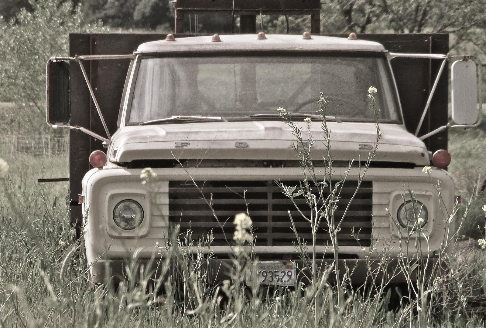

Perfunctory Old Truck Picture
Walking back to the farmhouse, I tell Paul he should be a teacher “…you know, if this farming thing doesn’t work out.”  Clearly there’s educational practice stuff he gets, I’m thinking. 

He chuckles, offering a very modest reply and then says something to this effect: It’s relatively simple to engage in all of those levels of thinking when you’re working with your hands in the soil day by day.  Our livelihood depends on it.  “Schools, I suppose, can’t do this too effectively because of cost, logistics…”

He’s right, of course.  Our students could receive a much more hands on – much better grounded – experience if schools could somehow be more like farms.  They would graduate with a less sterile but far more heightened sense of how things work and how those things work together.

It’d be organic.

o0o

Full Belly Farm is located just on County Road 43, off Highway 16 about a mile and a half north of Guinda.  They are open to the public on select days (see their website) and offer organic produce and fiber through farmer’s markets and their Community Supported Agriculture program.

Internships are available, school field trips are encouraged and there’s a summer camp for kids.

Check out their website for coming events and to learn more: http://fullbellyfarm.com/

© 2015
Church of the Open Road Press

Sunday, March 10, 2013

GRAVEYARD SHIFT

It was a graveyard of the old-fashioned Western kind. It was on a hill, about a mile and a half from the village. It had a crazy board fence around it, which leaned inward in places, and outward the rest of the time, but stood upright nowhere. Grass and weeds grew rank over the whole cemetery. All the old graves were sunken in, there was not a tombstone on the place; round-topped, worm-eaten boards staggered over the graves, leaning for support and finding none. "Sacred to the memory of" So-and-So had been painted on them once, but it could no longer have been read, on the most of them, now, even if there had been light.

- Mark Twain in Chapter 9 of Tom Sawyer


Greenwood
Samuel L. Clemens did a fine job of teaching generations of kids of a certain age that a cemetery was a sinister and scary place to frequent: haunted with spirits and specters.  Graveyards were safe for the passer by only if carrying a dead cat to swing by its tail at midnight beneath a full moon accompanied by the appropriately spooky incantation.  


Helltown circa 1973
It wasn’t until a day hike to a six plot site hidden up a remote reach of Butte Creek Canyon in my early twenties that my perspective changed.  Call it my “graveyard shift.” 


Helltown
At the (now inaccessible) Helltown Cemetery, a knocked over and cracked marble marker read “Lost on the Steamer Golden Gate.”  In a virtual twinkling, that singular inscription turned Tom Sawyer’s over-arching, stay-away superstition on its head. 

Perhaps, I’ve come to realize, this is why we call them “plots:” There are stories here.  Histories.  Tragedies.  All I needed to do was walk through the gate, observe, question and reflect a bit. 

Some observations and questions:

Were the lives of those with big markers more significant than those with smaller ones?  Area bigwig Samuel Neal resides here, as does the namesake of the town called Durham.  Sam has the bigger stone.
Durham, CA

This prospector came all the way from Sweden.  My hunch is he was about 40 when he arrived in search of gold.  1869 seems like along time ago only a couple of decades removed from the Gold Rush…
Manzanita
…but this 1693 Boston plot puts things into perspective.  We’re all just whippersnappers out here in California.
Boston, MA

Speaking of perspective, I looked at the 88-year lifespan of Pvt. Butterfield (originally from Illinois) resting in Placer County now for about that same length of time.  I wondered what he may have wondered about the cavalcade of history that had marched through his life.
Gold Hill, near Newcastle, CA

Three years ago, I took a ride up toward Cherokee (Butte County) to console myself about the 22% drop in the value of my 401K.  Then I saw this marker…
Cherokee, CA
Nearby, I wondered if this resident was cozy or lonely…
Cherokee, CA

Throughout our cities and towns, we seem to sort and separate the departed: Protestants here, Catholics there and I wonder why we don’t assume God will just sort things out on the other side…
Near Elk, CA
Historians often look for primary evidence when trying to piece together what happened way back when.  Cemeteries can tell us when folks arrived in the area, where they came from either from an examination of their surname or because it’s engraved on the stone, and when the cholera epidemic hit. 
Cherokee, CA

Cemeteries equalize those who died too early with those who somehow enjoyed a wonderfully long existence even without our miracle of modern medicine. 

Occasionally, a marker will evoke a spirit different from sadness or loss…
Centerville (Butte Co, CA)
…and many times I ride away thinking, “That’s not a bad spot to spend forever.”

No matter what thought leaves with me after I’ve explored an historic burial ground, I always flicker back to that trek in Butte Creek Canyon so many years ago.  I’m thankful friends coaxed me up there and for the resultant “graveyard shift.”

o0o

Directions (in order of photos):

Greenwood Cemetery (El Dorado County): SR 49 from Auburn or Placerville to Cool, East on SR 193.

Helltown Cemetery (Butte County):  Skyway south and east out of Chico, right on Centerville Road, bear left at Covered Bridge, through Centerville, left on Helltown Road.  Private Property – Restricted Access – don’t mess with ‘em.

Durham Cemetery (Butte County): Midway south from Chico, left on Durham Dayton Highway.

Manzanita Cemetery (Placer County): Old SR 65 north from Lincoln, right on Chamberlain Road, left on Manzanita Road.

Boston Cemetery: N/A

Gold Hill Cemetery (Placer County):  SR 193 east from Lincoln, left on Gold Hill Road.

Cherokee Cemetery (Butte County):  SR 70 north and east from Oroville, right on Cherokee Road.

Guffy’s Cove Community Cemetery (Mendocino County):  SR 1 to Elk, one mile north of town.

Centerville Cemetery (Butte County): Follow direction toward Helltown, but stop in Centerville.  Check out the schoolhouse museum there.

Willow Ranch Cemetery (Modoc County): US 395 north from Alturas, right on Fandango Pass Road.

Mary's Chapel
Mary’s Chapel and Cemetery (Yolo County): North from Woodland on 113, west one mile on CR 15 (but watch for sign on 113).  There’s a lovely, preserved, whitewashed country church on the grounds, so typical of rural America.

Not pictured but of interest:

Mechoopda Cemetery (Butte County) on West Sacramento Avenue in Chico (Native American?)  Locked gate.

Iowa Hill Cemeteries (Placer County): West on I-80 from Auburn, at Colfax circle back on frontage road on southeast side of freeway, left onto Iowa Hill Road.  Challenging road: steep, twisty, scenic and steep.  Real steep.

Boot Hill (Mono County): US 395 to SR 270 junction south of Bridgeport, east on 270 to Bodie.  This is a great place to rest as the sun sets.  Beyond dusk, the voices of the past begin to tell stories on their neighbors.  Honest.

© 2013
Church of the Open Road Press

Thursday, March 7, 2013

WEST SIDE OF THE RIVER

on California’s State Route 45

Click on any picture, if you must, to expand
State Route 45 provides a welcome alternative to I-5 when traveling the valley north of Woodland.  Coursing through farm lands, orchards and tiny bergs, the two-lane carries us back in time a bit. 

Along the way it tempts us with occasional views from the west side of the Sacramento River.  Although many lanes lead to the leveed banks of the Sacramento, few provide an alternate to Route 45.  Most of these little avenues offer access to farmers and fisher-people simply dead-ending at the river.


The run south from Hamilton City is straight and smooth.  Once past the Tehema-Colusa Canal levee, undeveloped land allows for nice views of the Coast Range off to the west and riparian stands of oak and black walnut nearer the river. 

Within a few miles, almond orchards present row upon row of, on this day, delicately blossomed trees.  Their fragrance is high on my list of favorites: a virtual tie with my local cigar guy’s humidor.

The highway passes through bergs that, before interstates, served as mercantile hubs farmers and ranchers. 

An equipment repair shop may or may not stay open along with taverns, small, whitewashed churches and tiny country stores.  I stop for bottled water and an apple, not because I need the water or the apple, but because, I figure, they need the business.

Route 45 intersects 162.  I cross the river here to visit Butte City and see what’s going on.  Not much…

…except for this pleasant reflection of peach blossoms.

Area kids go to school in Princeton with those making it through the twelfth grade legitimately called “Princeton Grads.” 

In the 50s, the Princeton High School Band made regular treks to South Bend, Indiana to perform at Notre Dame football games.  No longer.  No money.  Heck, there may not even be a band any more.  Where’s Harold Hill when you need him?

Out this way, the almond orchards have yielded more to English walnuts.  These black-stumped, silver-barked trees are spaciously organized into cool groves that might invite a nap on a hot summer day.  Cautiously wondering how the landowner might react, I don’t do this.


Colusa provides a respite from the saddle.  Once among the largest wheat transshipment points in the country, the town nestles the west bank of the Sacramento about half way through a sojourn along state route 45.  Devoid of big box stores, the main street seems to be weathering some less-than-the-best economic times. 

A stroll through the neighborhood backing the business district, one finds a nice collection of Victorian and craftsman style homes on spacious lots along tree-lined streets. 
 
125 years ago, the state powers-that-be strongly considered Colusa for the location of the northern Normal School, an institution for training teachers. Fifty miles distant and home to US Senator John Bidwell, Chico won the bid for this school.  One can only imagine the flip-flop of town fortunes had the decision gone the other direction.


Beyond Colusa, the valley has become more of a sink, a low land in which water may collect for weeks at a time in winter.  Rice is now king as are wintering fowl.

Heading south from a junction with SR 20, highway 45 slips through glens of standing oaks, then veers onto the tilled valley bottomland.

Soon, it curves back riverward at Grimes.  Another country store and little church make this a community.  From here, the highway appears to follow straight lines, making ninety-degree turns at, perhaps, historic property lines. 

A nice alternative is Wilson Bend Road. 

This little gem wanders through a few more fields and orchards and offers few more miles of levee top views of the river. 

The pavement isn’t great, but I’m not in a hurry or I’d be over on I-5.

The final stretch is a pleasant jaunt through the Great Valley, although I always get to Knight’s Landing wishing there were a few more miles of state route 45 to enjoy.

o0o

Today’s Route:  I-5 to Orland or State Route 99 to Chico; SR 32 to Hamilton City (Glenn County).  From Hamilton City, south on SR 45 through Ord Bend (what’s left of it), Glenn (ditto) to Four Corners.  Here, consider a side trip over to Butte City just to check things out across the river.  Continue south of SR 45 through Princeton (find the old ferry pulled up on the bank in the shadow of a warehouse; but watch out for the little yip-yip dog who guards it!) to Colusa.  SR 45 joins SR 20 through town splitting about five miles south of town.  Bear right, through Grimes, Grand Island and on to Knight’s Landing.  Alternate south of Grand Island: left on Wilson Bend for a few miles of levee riding.  From Knight’s Landing SR 113 leads to Woodland or Yuba City; county road E-10 hooks up with I-5 at Zamora.

o0o

In Colusa, I pulled onto a side street, visited the nicely maintained city park and then hoofed over to a newly opened tacqueria occupying once-vacant and dusty storefront.  The carnitas tacos were subtly smoked and gently spiced.  They came with homemade refrieds and well-seasoned rice.  The proprietor, who may or may not have been born on this side of that new fence folks seem to be so excited about, made chipper conversation with customers, asking me about what I was riding and where I might be headed.  He was equally deft engaging a Hispanic gent who’d parked a working copy of a Chevy truck out front.  As I departed, the young restaurateur bid me “safe travels.”  I left feeling gastronomically satisfied.  I couldn’t help but reflect on the opportunity this young man had sighted and seized.

© 2013
Church of the Open Road Press