Robinson’s Flat to Duncan Peak LO (Placer County, CA)

I tossed some hiking shoes into the Jesse’s on the GSA, leaving the Breva home in case I was tempted to ride the gravelly mile and a half from Robinson’s Flat up to the lookout. I wasn’t. The walk would be a good one and watching the scenery unfold at my feet never ceases to steal my breath.
FORESTHILL ROAD departs I-80 just east of Auburn; just a short jaunt up the hill from Sacramento. It crosses the North Fork of the American and traces the high ridge into Foresthill. These 17 miles are gorgeously engineered and heavily patrolled.
Climbing above Foresthill, the road creases through mixed forest as it gains elevation. Eight or ten miles further on, a side road leads to Sugar Pine Reservoir, thence off to Iowa Hill and Colfax back on 80. Continuing east, one rides through the yellow pine belt past little dirt tracks that lead to gold rush era locales lost to history.
The last ten miles of pavement lack a centerline. Through stands of forest and clearings, the shoulder drops off inviting the rider to pay close attention in and through the wondrous twisting curves. [Click on Foresthill Hill Divide in the “tag” section to learn more about this magnificent route.]
 |
| File photo from my KLR days |


Once there, a nice conversation with John, the ranger on duty, ensues. He points out area promontories and talks about the various hikes he’s taken on his off days.
“See that outcrop?” About a mile north, a small white dome rises above the forest. “That’s the site of the original lookout.”
I’d been up this way easily two dozen times and didn’t know there had been a former lookout anywhere in the area.

“Wouldn’t they have figured that out before they built the thing?” I asked.
We shook our heads in concert and both said, “Government work.”


HAVING RECEIVED DIRECTION from Ranger John, the hike over to the old site was an easy one. “Just turn right when you get to the cattle guard and park there.”
I had nothing to park.
The trail John indicated was actually a passable but unimproved dirt road. Keeping my bearings about me, I followed my nose and came upon the base of the dome.

One has to wonder how they got materials up here for this structure, and how they got them to stay grounded over the years of its use.

To the south, the current lookout gleamed in the mid-day sun. I stood next to the platform and waved for a moment or so, thinking Ranger John might like to know I’d arrived.

BACK AT THE PUMP at Robinson Flat, I drenched my head before donning my helmet. As the vents carried the cool air through, I considered this a good ride, a good walk and a good new discovery. Therefore a really good day.

Photographer Keith Sutter offers some great shots of the Duncan Peak Lookout. Find his work on line by Googling Duncan Peak Photos.
© 2011
Church of the Open Road Press
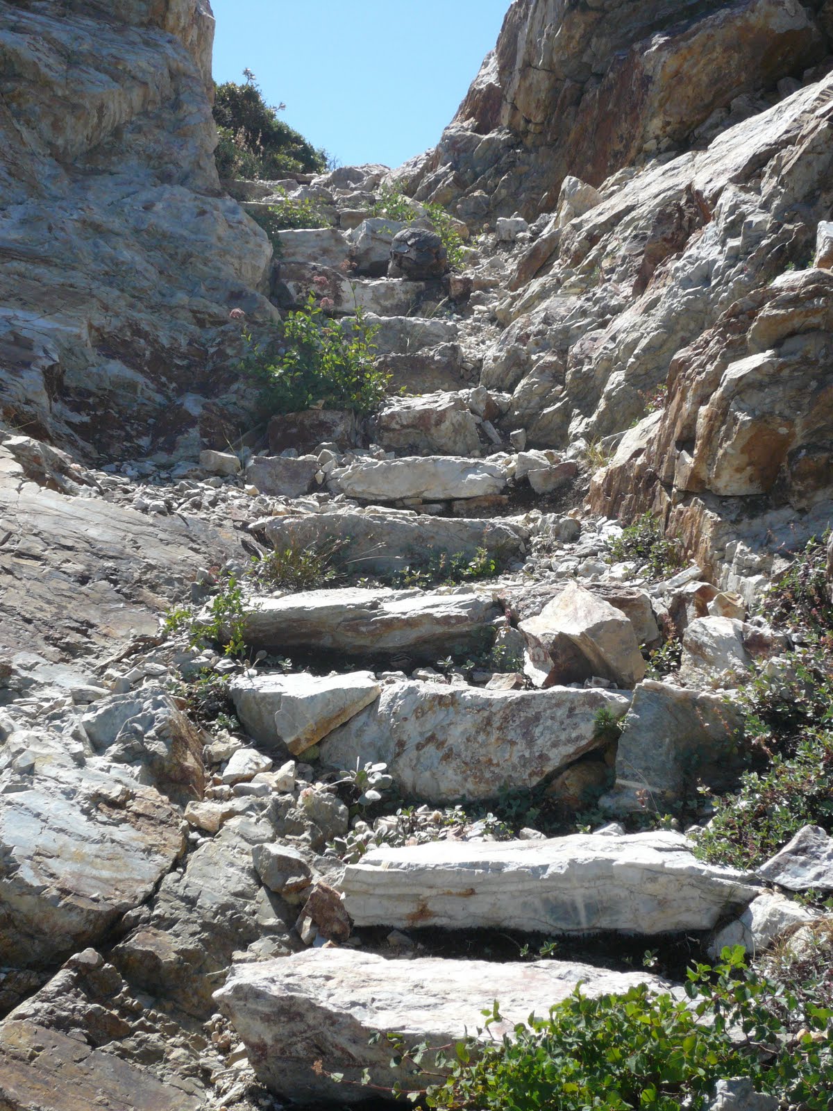
Loved your descriptions and the granite steps photo. Very jealous of your outings. Maybe someday, when I retire......
ReplyDelete